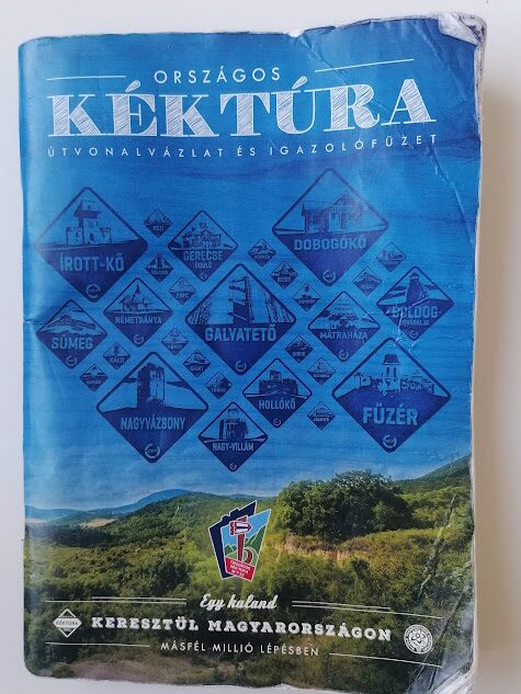
My Blue Trail Hike
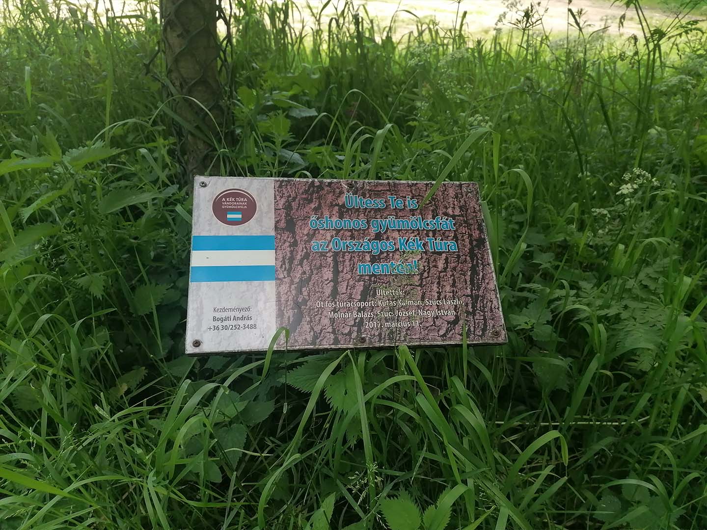
The National Blue Trail (OKT)
The 1,184 km route of the National Blue Trail runs across Hungary from Írott-kő in the Kőszeg Mountains to Hollóháza in the Zemplén or Tokaj Mountains. Starting from the Alpokalja region, including the Kőszeg Mountains, the trail heads eastwards and passes through the following mountain ranges: the Keszthely Mountains, Bakony, Vértes, Gerecse, Pilis, Buda Mountains, Visegrád Mountains, Börzsöny, Cserhát, Mátra, Bükk, Cserehát, and the Zemplén or Tokaj Mountains.
During the National Blue Trail, approximately 32,000 metres of elevation gain and loss must be covered. The direction of travel can be freely chosen both for the trail as a whole and for individual sections. There is no time limit for completing the OKT.
Introduction
Everyone experiences hiking the Blue Trail differently, although there can certainly be many common points and similar experiences along the way. My own story in connection with hiking the Blue Trail developed as follows.
What was needed:
- Completing the “A Million Steps for Your School” program, which inspired the idea of hiking the Blue Trail,
- Determination,
- Abilities and skills,
- Free time,
- Equipment,
- Support from my family
Completing the “A Million Steps for Your School” program, which inspired the idea of hiking the Blue Trail
The idea of completing the OKT occurred to me in January 2025, after I had completed the 77-day “A Million Steps for Your School” program in the autumn of 2024. The essence of the program was that you had to walk every day for 11 weeks. I joined the program one week after it started, so I walked one million steps in 70 days. At first, only about 5 km, which in my case was approximately 6,000 steps, and later even 20,000 steps, averaging 14,000–15,000 steps a day.
Determination
That is why I thought last January that I now had a little experience with walking and perhaps I could take on the Blue Trail. ☺
Abilities and skills
Determination, willpower, diligence, perseverance, courage–recklessness, tolerance of stress and pain,
Planning and organizational skills, problem-solving skills, sense of direction,
Fitness, energy, love and respect for nature.
During the hikes, I also disrupted my established biorhythm for the sake of the goal by getting up early and giving up sleeping after lunch. Once my hike had started, this minor personal problem / inconvenience did not even cross my mind.
Free time
As I am retired, I had free time available.
Equipment
I acquired the necessary clothing and equipment: waterproof hiking shoes, hiking trousers, a cap, a Blue Trail booklet, a stamp pad, and ink. I bought a whistle, which could have been used to scare away any wild boar that might appear. I never had to use it in “action” during the entire hike. I already had the rest of my clothing and accessories: a cycling jersey, and a jacket, backpack, and towel. Later, I bought hiking poles, which was a good decision, and I was able to use them excellently during my hikes. Moreover, I had previously cross-country skied and ski-rolled, whose movement pattern is very similar to using poles while hiking, so for months I could enjoy the pleasure of exercising my whole body. Also later, when I was able to hike after longer bus and / or train journeys, I got a pair of earphones. Among my hiking essentials were also hand-washing liquid, adhesive bandages, disinfectant, tick repellent, Vietnamese balm, paper tissues, isotonic drink, and after the Kékes–Sirok summer hike, magnesium granules, as well as a thermos from the winter season onward. Naturally, I always carried my Blue Trail booklet, the ink-soaked stamp pad, and a pen with me as well. During the winter season, which this year also meant snow and icy sections in the mountains, I bought snow grips that could be attached to my shoes, without which completing the Írott-kő–Kőszeg hike on January 8 would have been difficult.
Support from my family
First and foremost, I had the support of my wife, because beyond being a little concerned about my hiking alone, she always helped me. I often shared my hiking plans with her. There were times when I modified my original plan based on her suggestions. We always discussed the hiking equipment I was planning to take. During my journey, we spoke on the phone. I shared my location with her, my daughter Orsi, and my daughter Kata. My granddaughter Mira had just become independent in getting home from school in May 2025, so I did not have to go to school to pick her up.
At the same time, on Mondays and Wednesdays, in most cases I was the one who picked her up after her extracurricular dance class.
Getting in the mood for the hikes
I started studying the OKT websites and collecting information. I thought I would walk an average of 15 km per hike, so I planned to divide the Blue Trail into approximately 80 hikes. My estimate was relatively good, as I completed the nearly 1,200 km in 73 hikes. In the end, I walked an average of 16 km per hike. The actual distance covered was in fact more than 1,200 km, because transportation does not always connect directly to the Blue Trail route. One example is the approximately 2 km section between the OKT route in the Gerecse Mountains and the settlement of Tardos, which I covered twice.
I studied the OKT sections and the possibilities for dividing them into smaller sections. How long the given section was and how much elevation it involved. From which direction should I start the hike, and how could I get there, primarily by bus or train? I read the description of the planned section on the kektura.hu website. I took screenshots of the addresses and photographs of the stamping locations and saved them in my gallery. I planned the journeys on the http://www.menetrendek.hu website. This process required a lot of time for me because I checked the departure and arrival times of the various means of transport and the possibilities for transfers. I saved screenshots of the selected timetables in my gallery. My basic principle was to set off in the morning and finish the hike before dark.
I continuously monitored the weather forecast in the days before the hikes by reviewing the data from several services.
As a resident of Buda, I started my hikes in the Pilis and Buda Mountains because they were easier to reach. I continued my subsequent hikes eastwards along the OKT route. I temporarily skipped the final part of the easternmost Section 27 because last autumn there was a very cloudy period in October and November, and I would not have been able to take good photographs of Füzér Castle.
My first eight hikes were as follows:
Date | OKT Section | Hike | From | To | km |
2025.05.12 | 12 | 1 | Piliscsaba | Dorog | 18,6 |
2025.05.14 | 13 | 2 | Zsíros-hegy | Piliscsaba | 12,5 |
2025.05.16 | 13 | 3 | Hűvösvölgy | Zsíros-hegy | 9,8 |
2025.05.19 | 14 | 4 | Hűvösvölgy | Rozália téglagyár | 14,1 |
2025.05.21 | 15 | 5 | Dobogókő | Csobánka | 12,3 |
2025.05.24 | 15 | 6 | Csobánka | Rozália téglagyár | 9,6 |
2025.05.26 | 16 | 7 | Dobogókő | Pilisszentlászló | 10,3 |
2025.05.28 | 16 | 8 | Pilisszentlászló | Visegrád | 15,6 |
1. Hike: Piliscsaba–Dorog
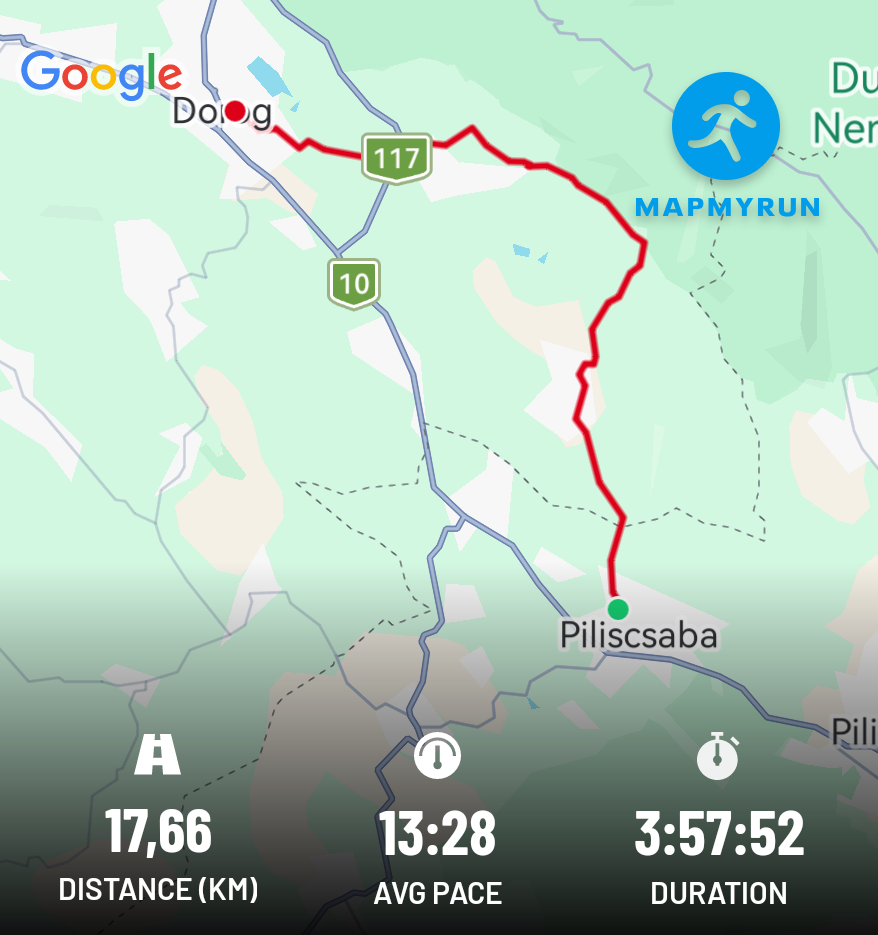
During my first hike, I discovered the experience of hiking the Blue Trail, which was followed by many, many similar hikes. At one point, my hiking shoes started rubbing my feet, which I tried to ease with a tissue, with more or less success.
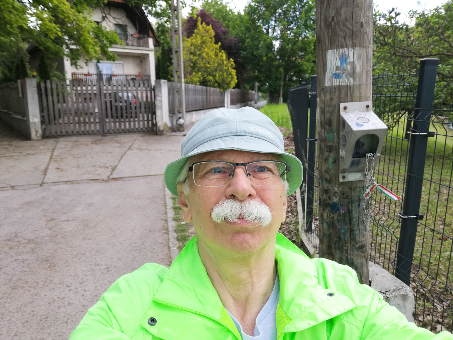
At the Piliscsaba stamping location
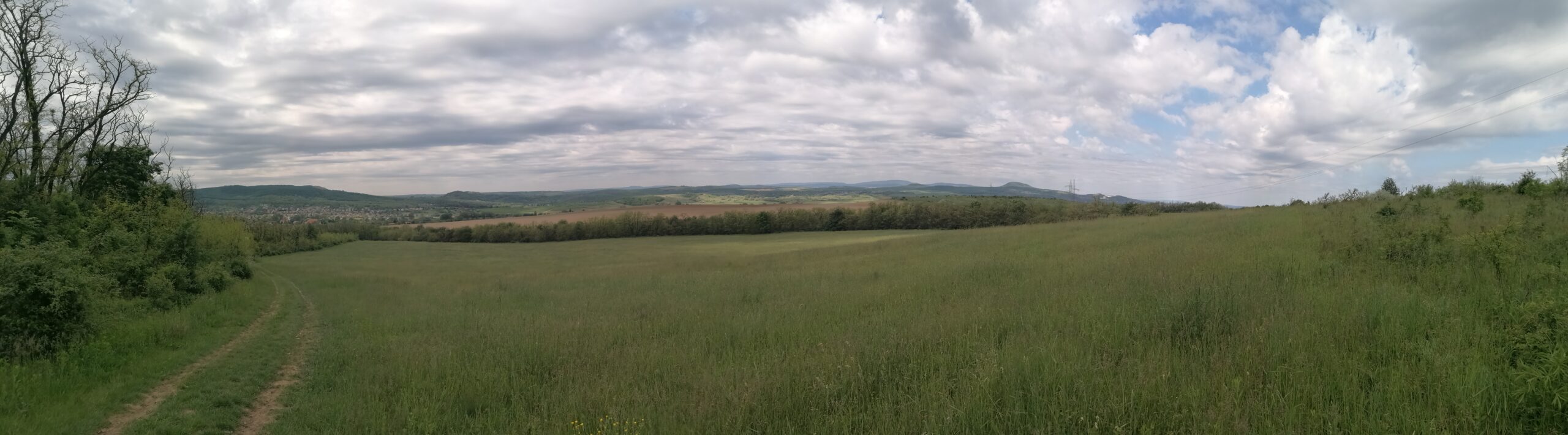
Towards Piliscsév
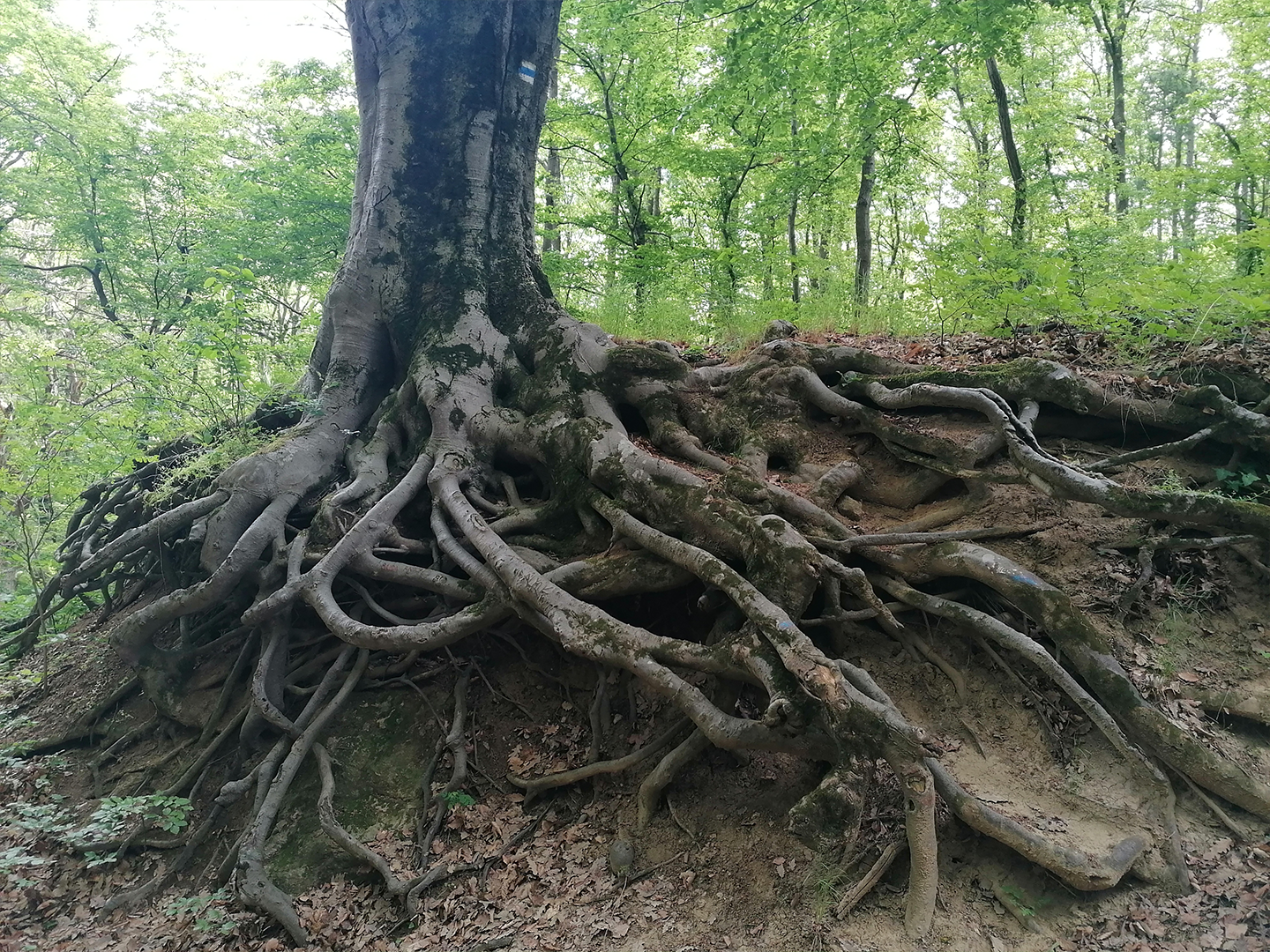
Root system
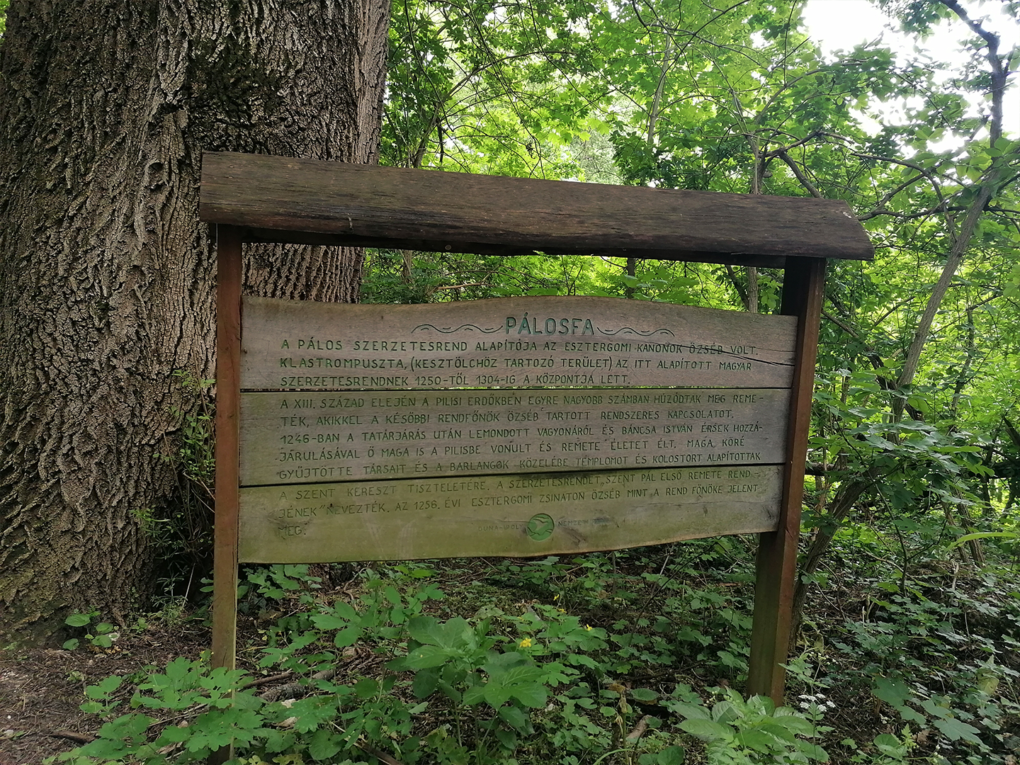
Pálosfa
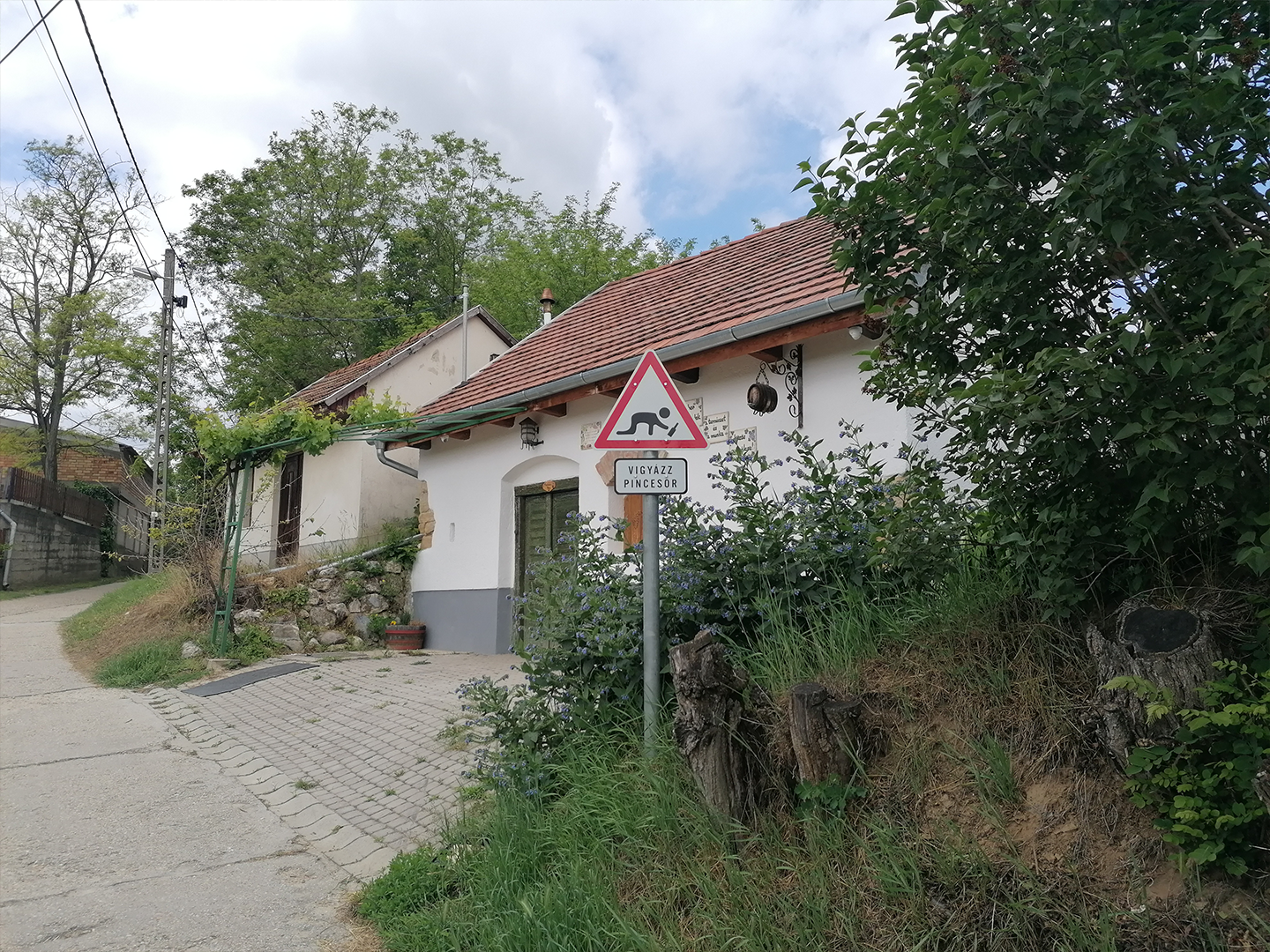
Watch out, cellar row!
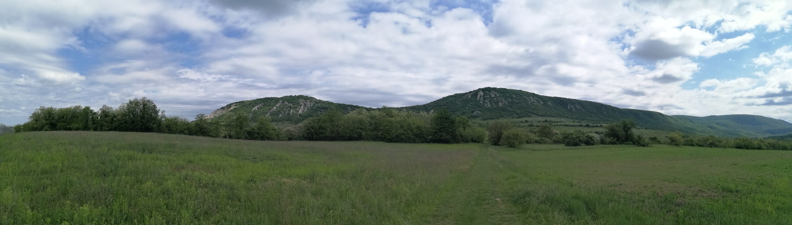
Towards Dorog
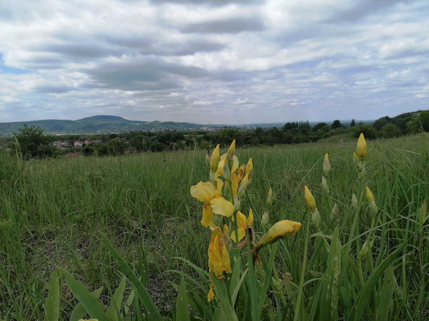
Towards Dorog
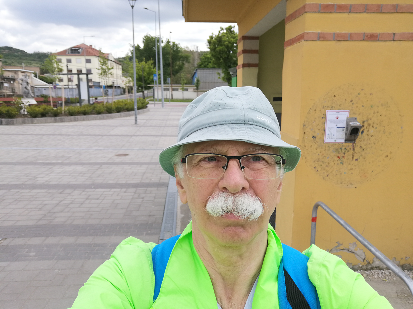
At the Dorog stamping location
2. Hike: Zsíros-hegy–Piliscsaba
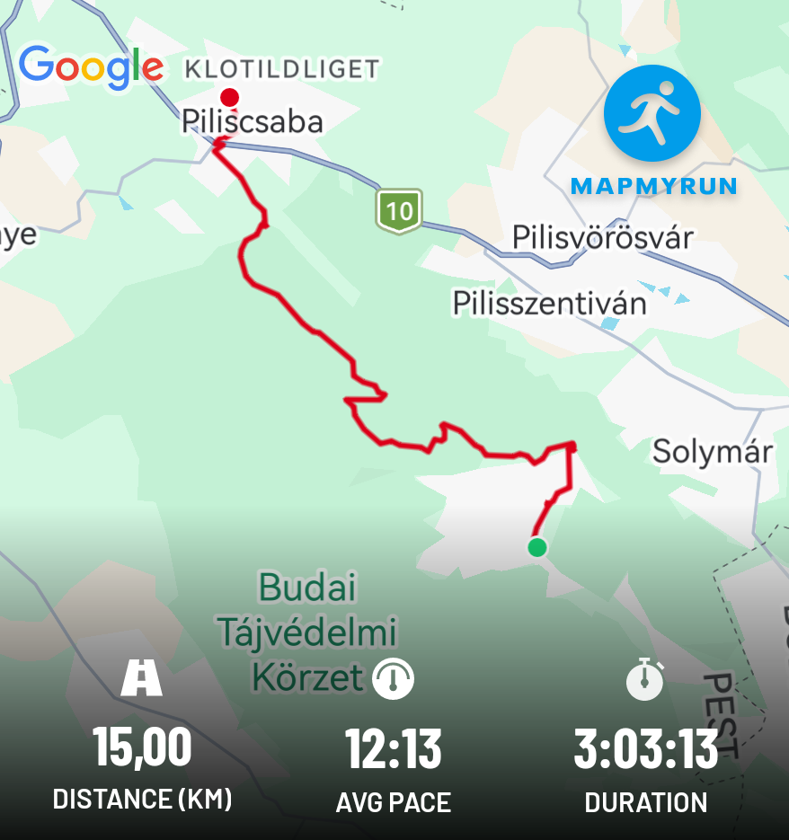
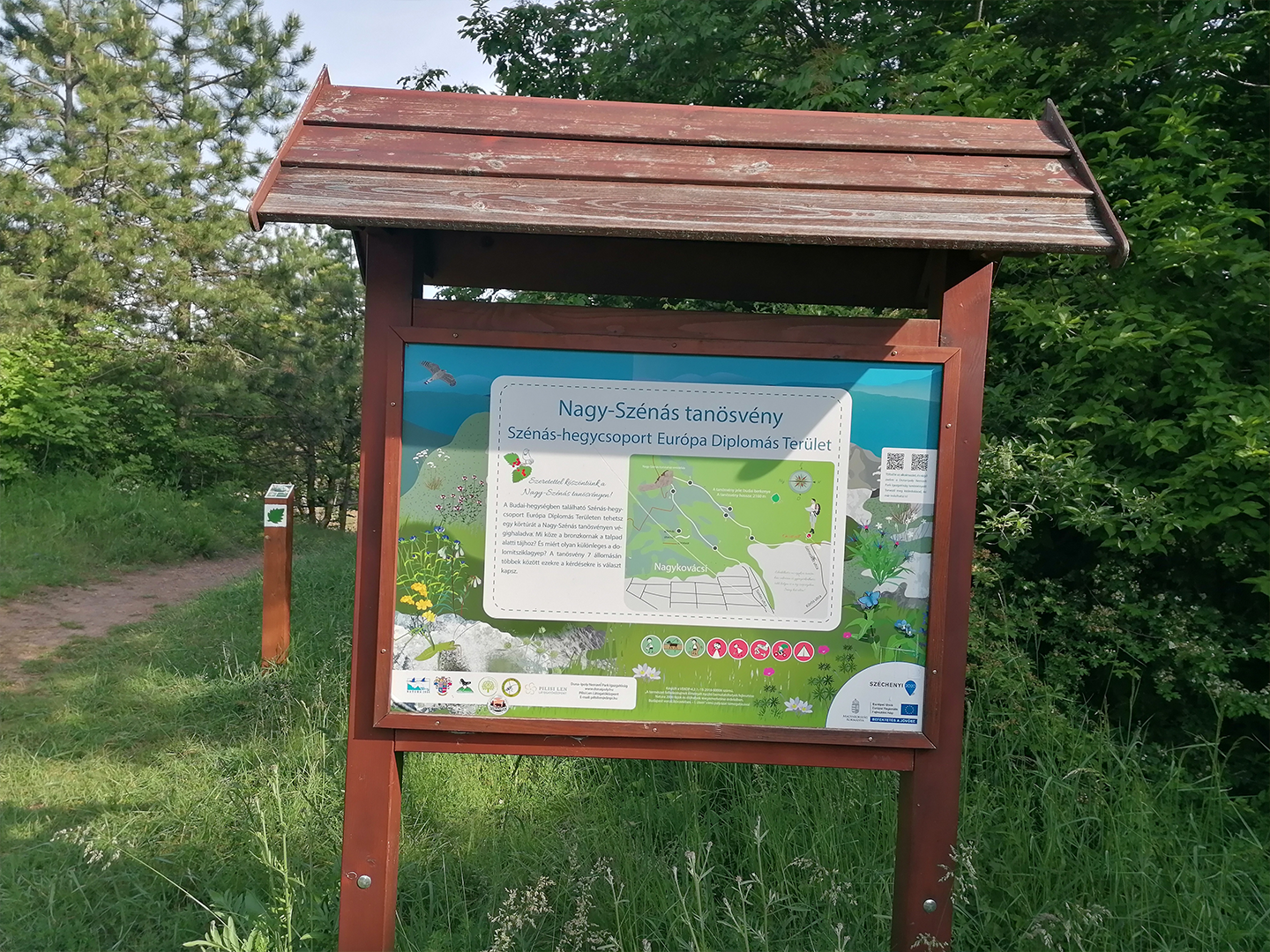
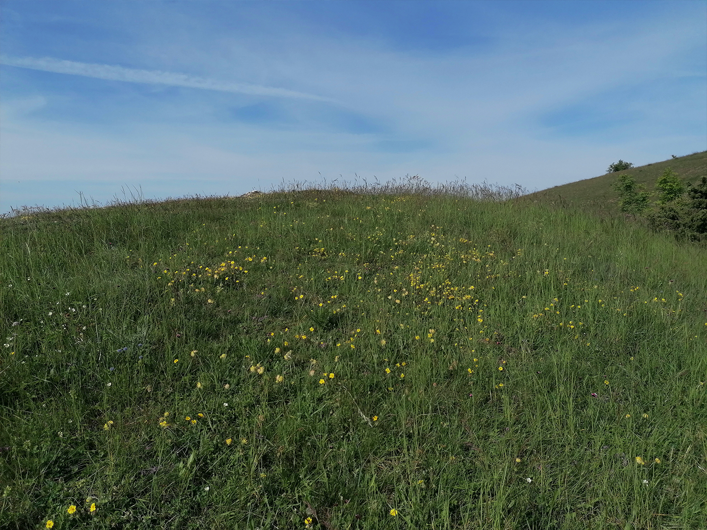
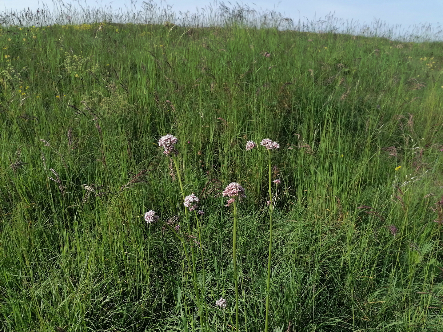
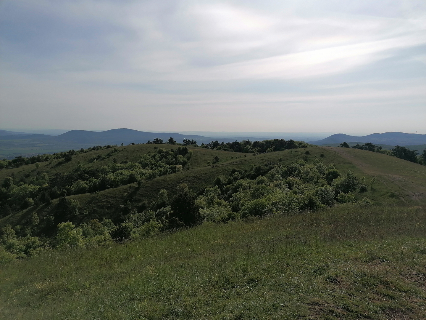
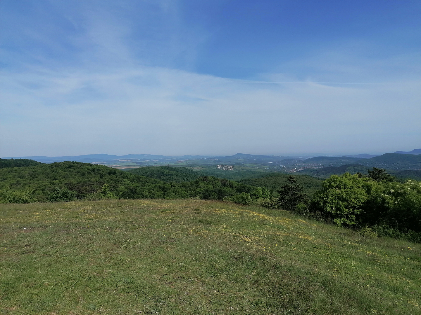
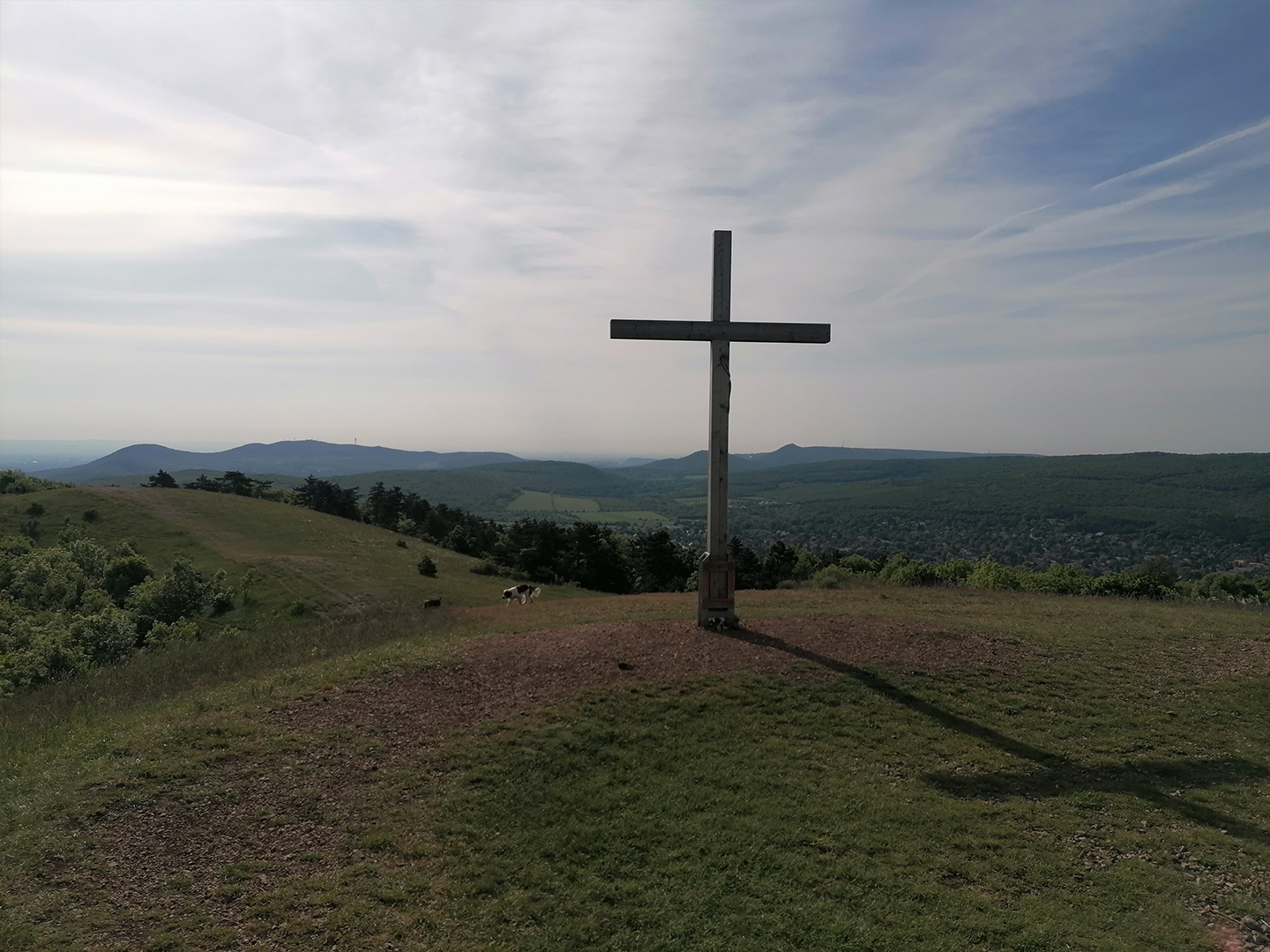
On this section, I passed through an area I had already explored before, around Nagy-Szénás, where the surroundings welcomed me with colorful flowers and magnificent views.
Some photos of Nagy-Szénás:
Wild chives
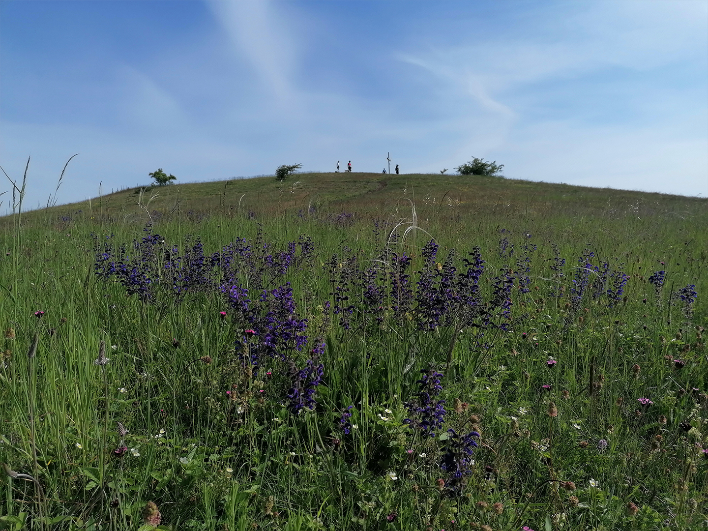
Meadow sage
3. Hike: Hűvösvölgy–Zsíros-hegy
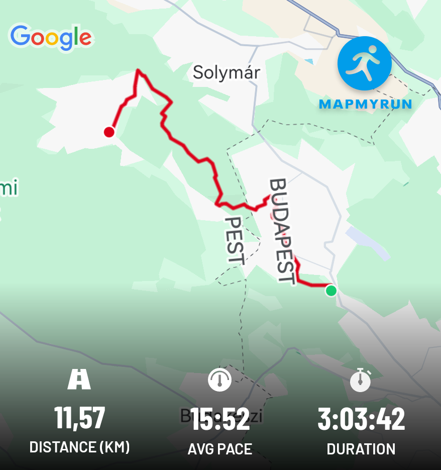
I completed this hike on May 16, 2025, between Hűvösvölgy and Zsíros-hegy. I covered the 9.8 km distance (11.5 km according to my measurement) in 3 hours. I was already familiar with the starting point in Hűvösvölgy from previous hikes.
A few photos from the hike:
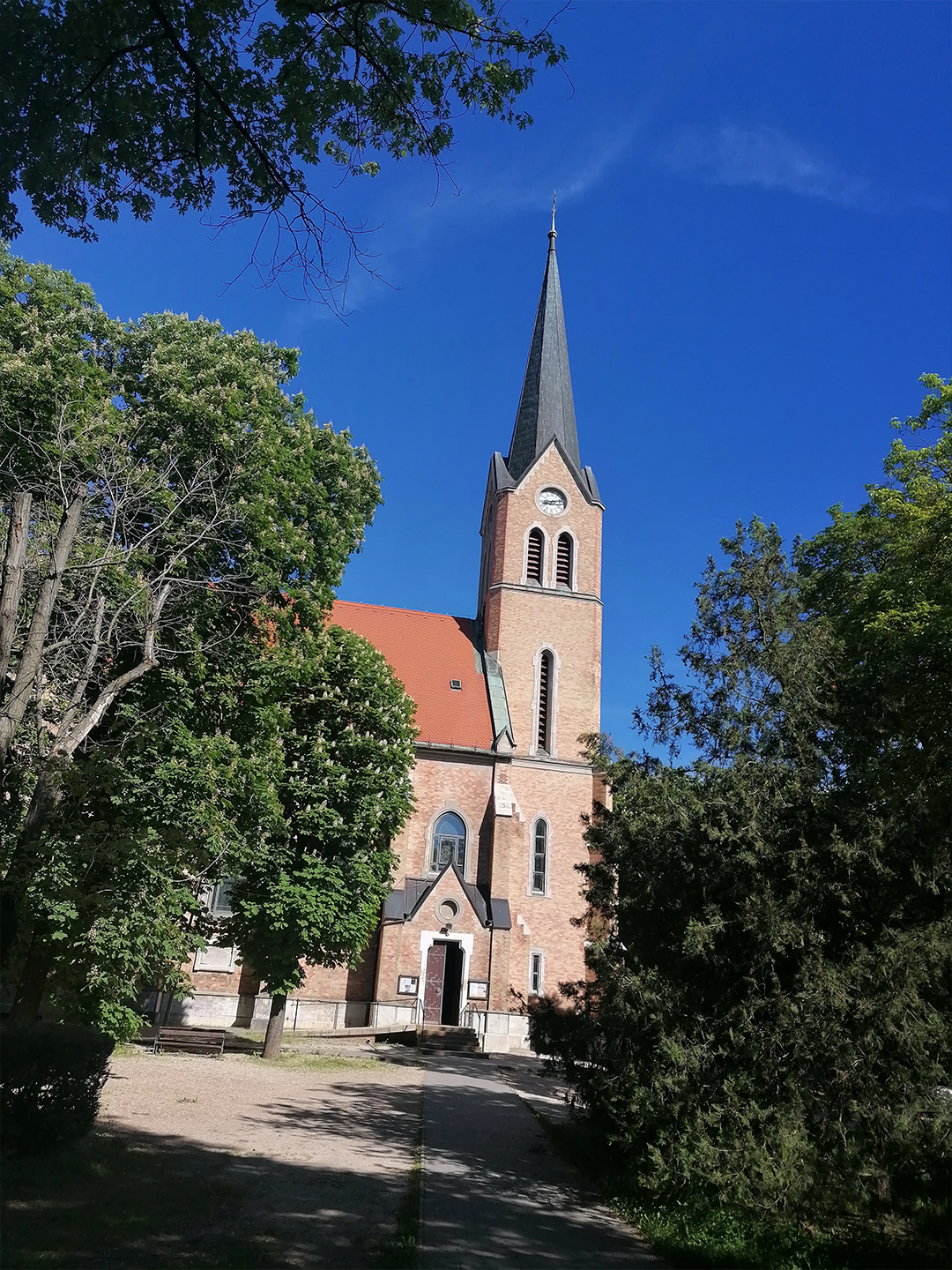
Basilica of the Assumption of Mary, Máriaremete
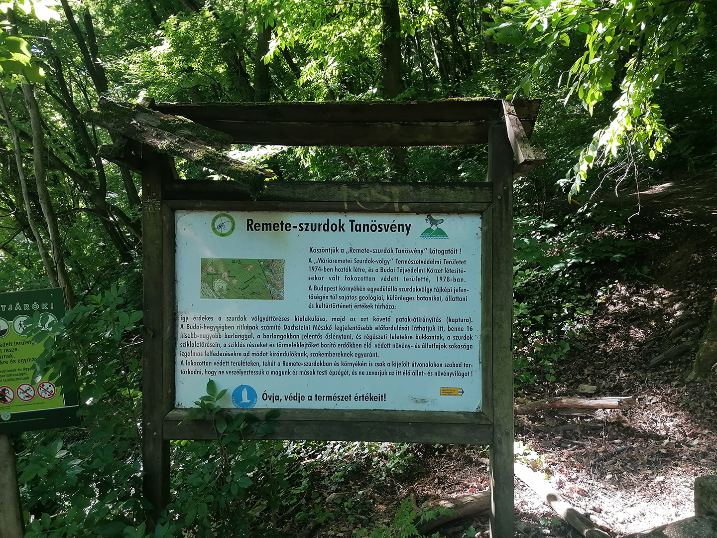
Remete Gorge Nature Trail
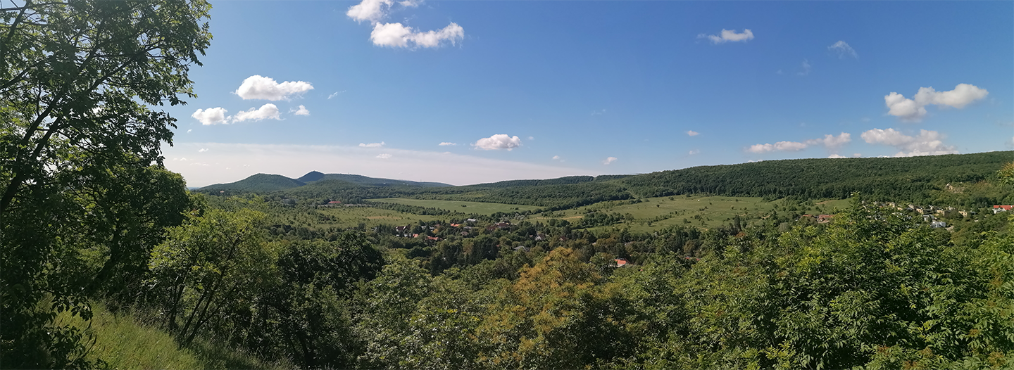
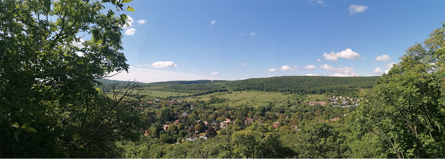
Remete-hegy Lookout Point
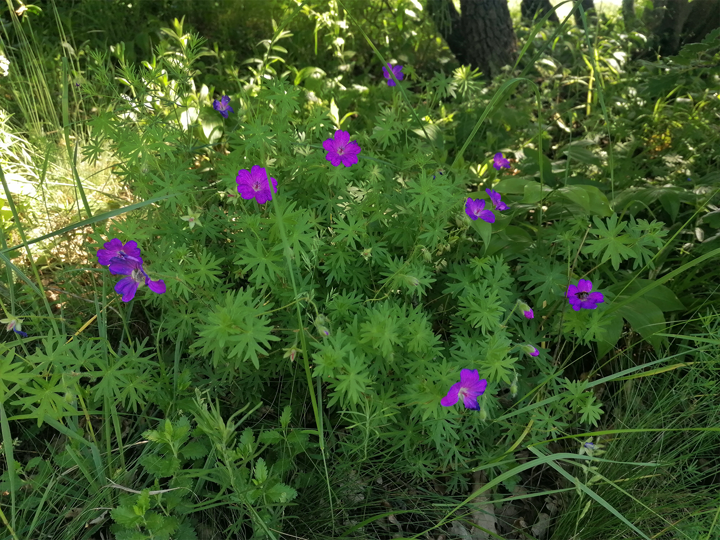
Red cranesbill
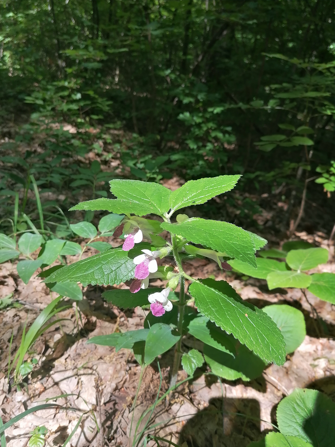
Southern balm
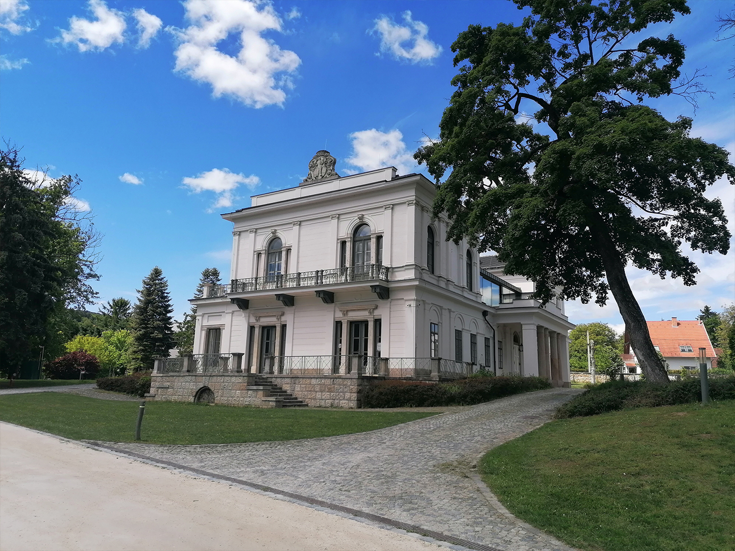
Teleki-Tisza Castle, Nagykovácsi
4. Hike: Hűvösvölgy–Rozália Brickworks
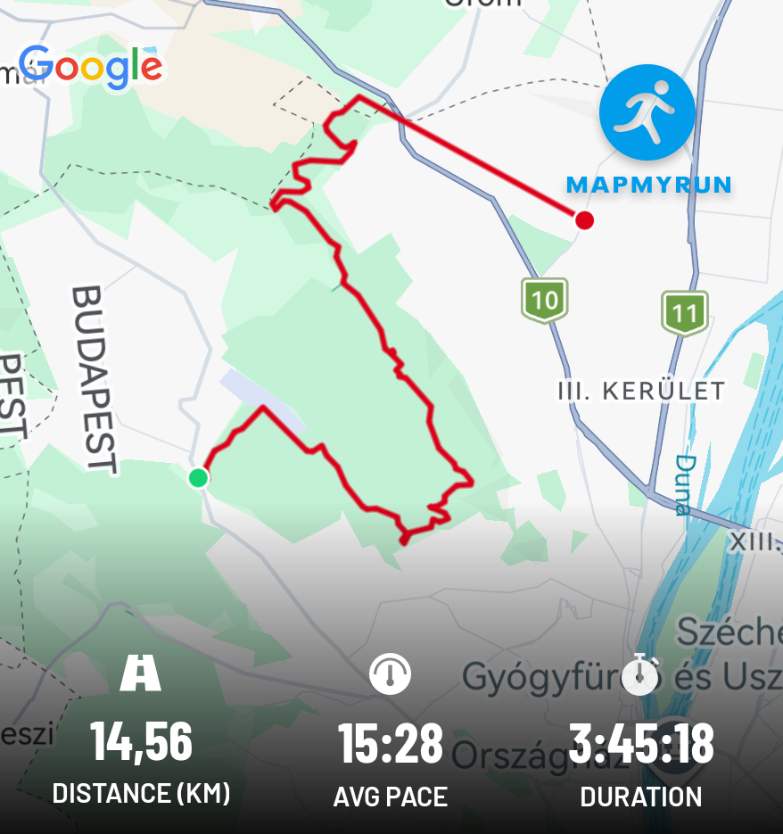
I completed this hike on May 19, 2025, in the Buda Hills, between Hűvösvölgy and the Rozália brick factory. I completed the 14.1 km distance in 3 hours and 45 minutes.
The hiking route passing through Hármashatár Hill, with approximately 500 m of elevation gain, was the first more serious challenge for me.
A few photos from the hike:
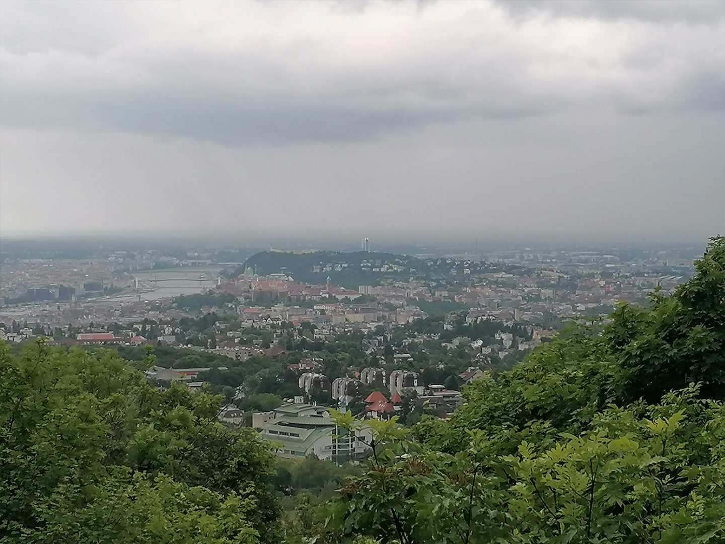
Panoráma az Árpád-kilátóból
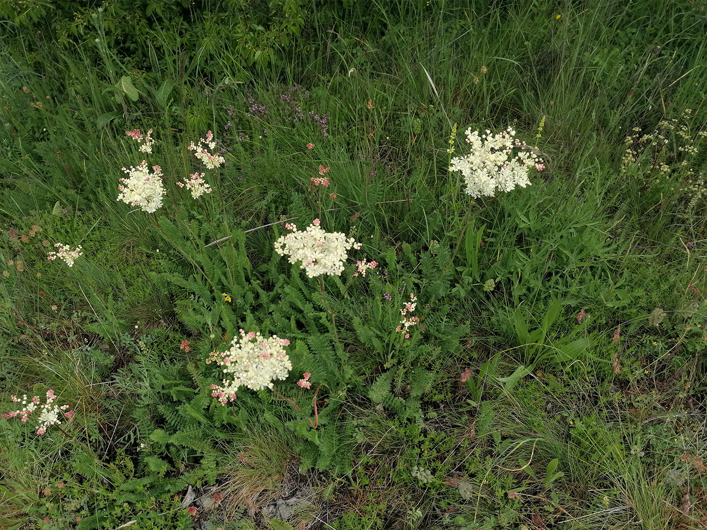
Yarrow
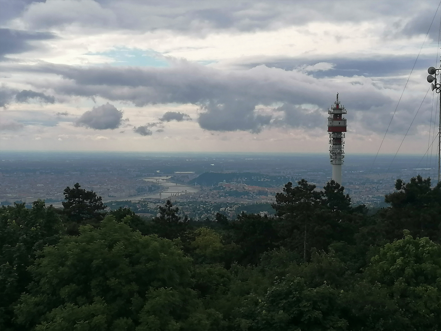
View from Hármashatár-hegy
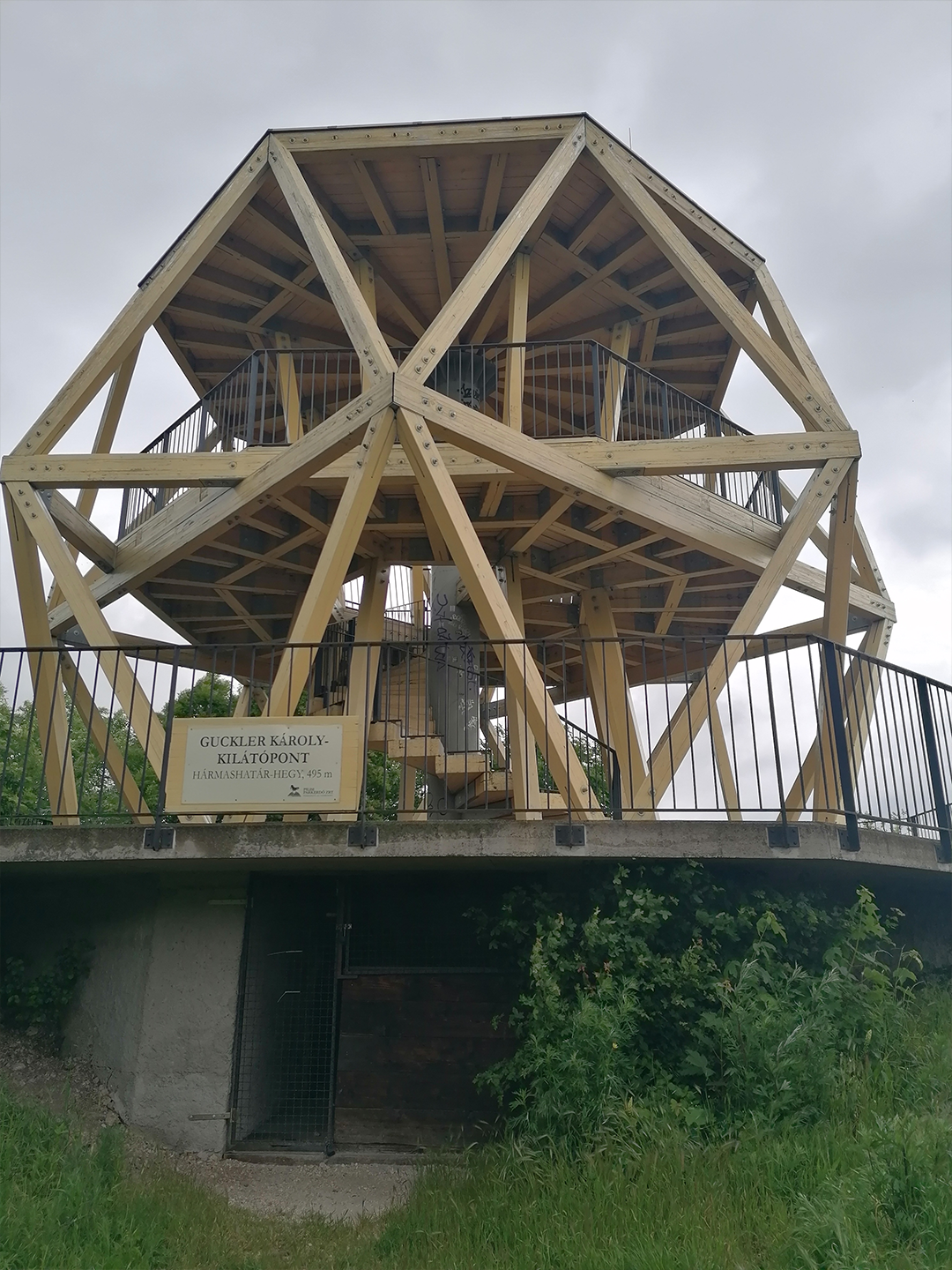
Guckler Károly Lookout
5. Hike: Dobogókő-Csobánka
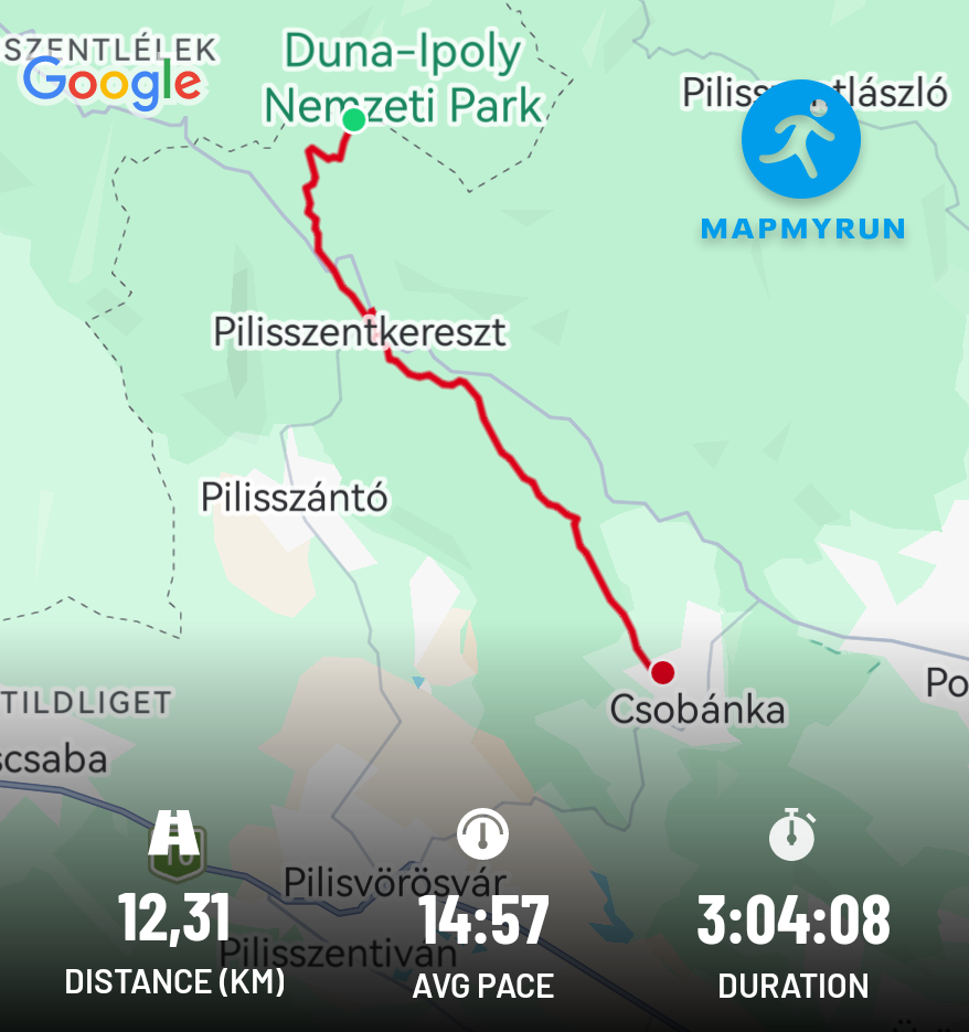
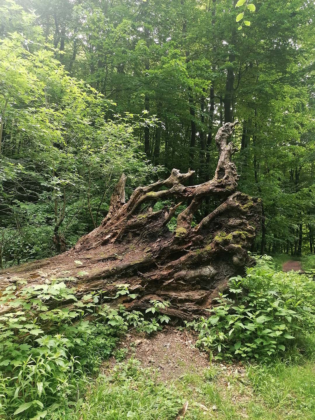
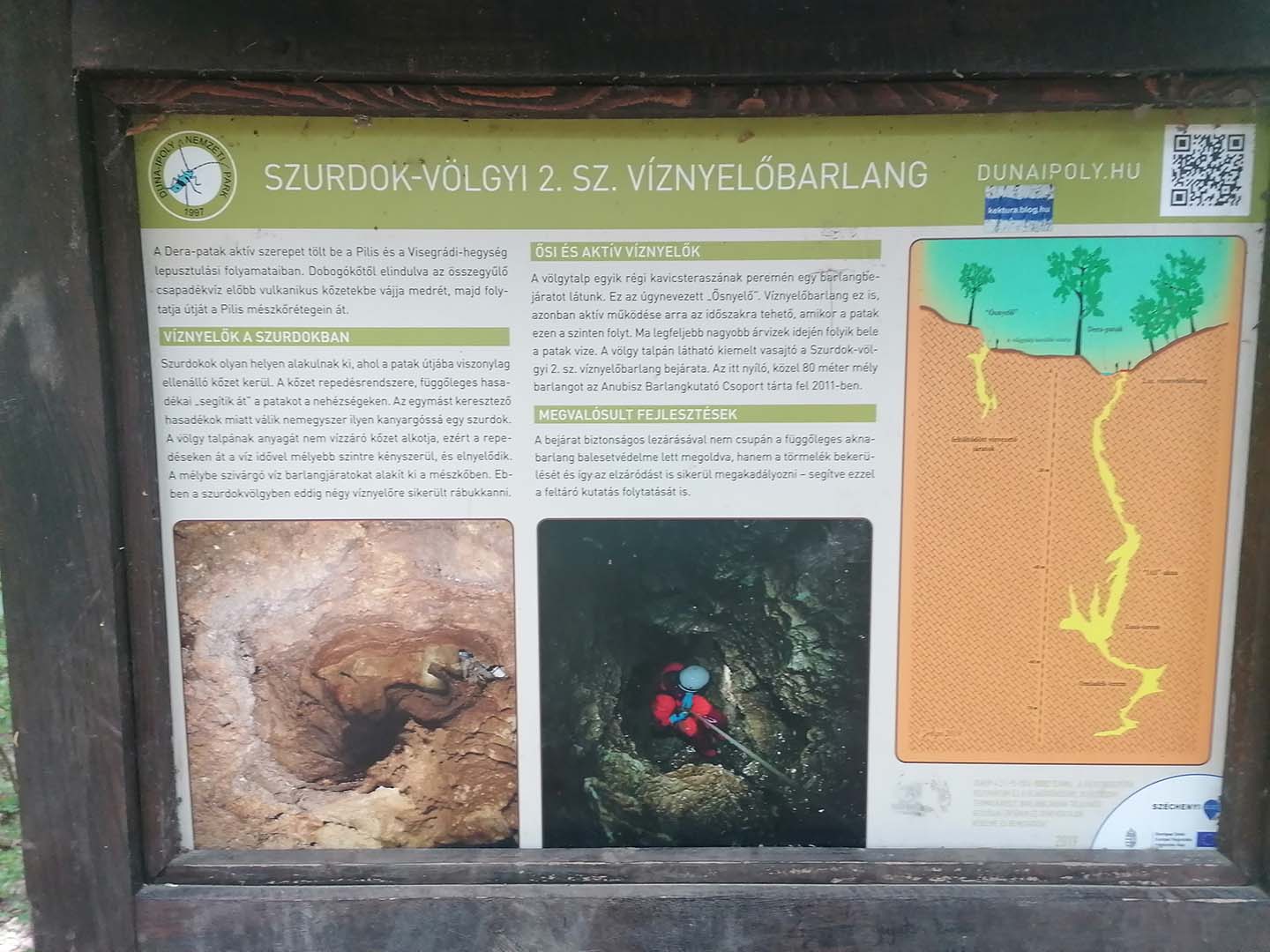
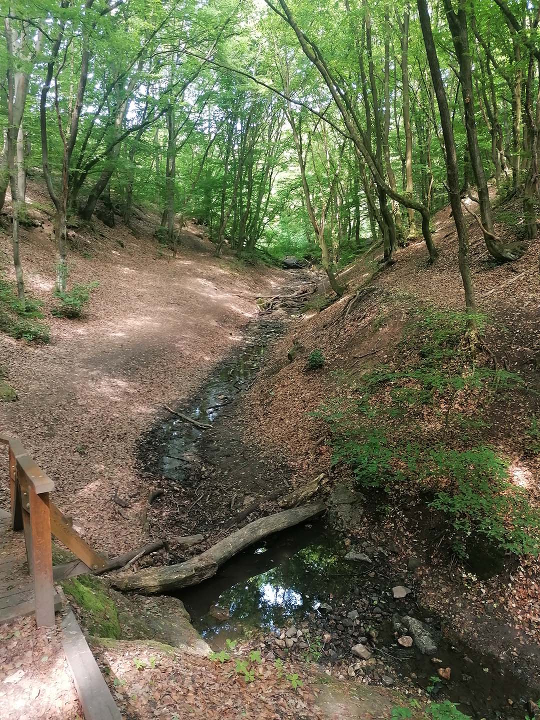
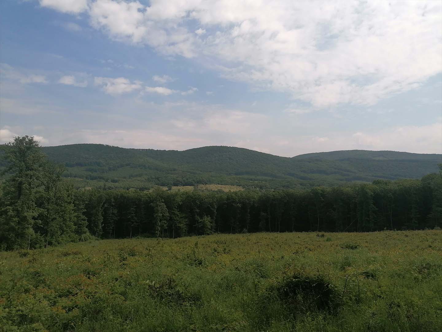
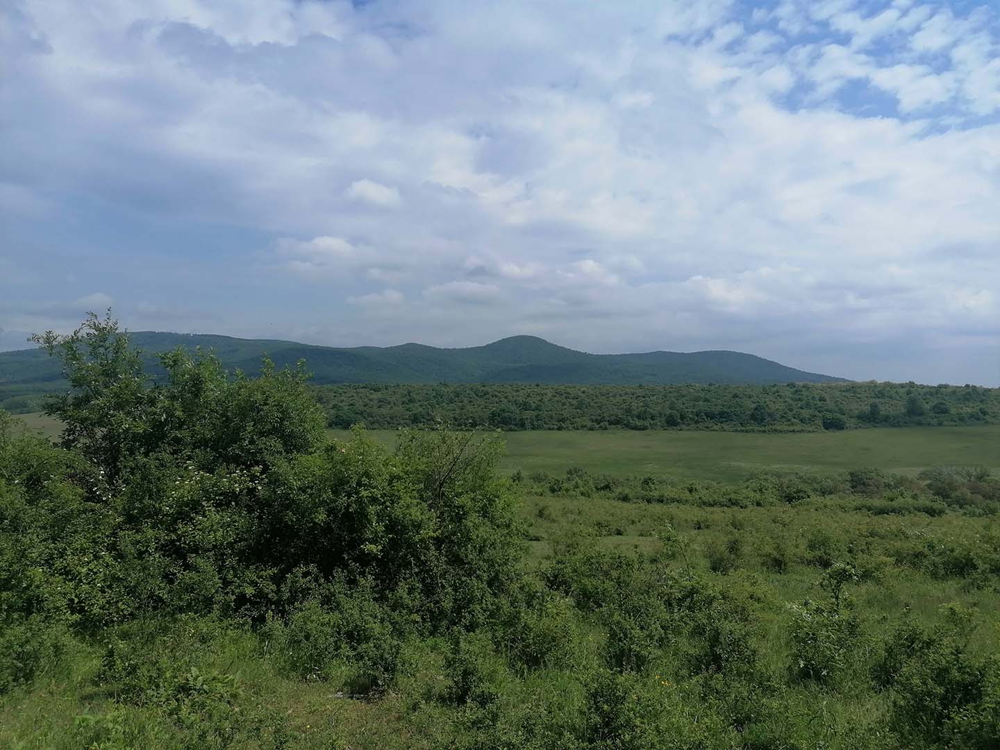
I completed this hike on May 21, 2025, in the Visegrád Mountains and the Pilis, between Dobogókő and Csobánka. I completed the 12.3 km distance in 3 hours and 4 minutes. An easy, mostly downhill hike, with beautiful views of the surrounding mountains before reaching Csobánka.
A few photos from the hike:
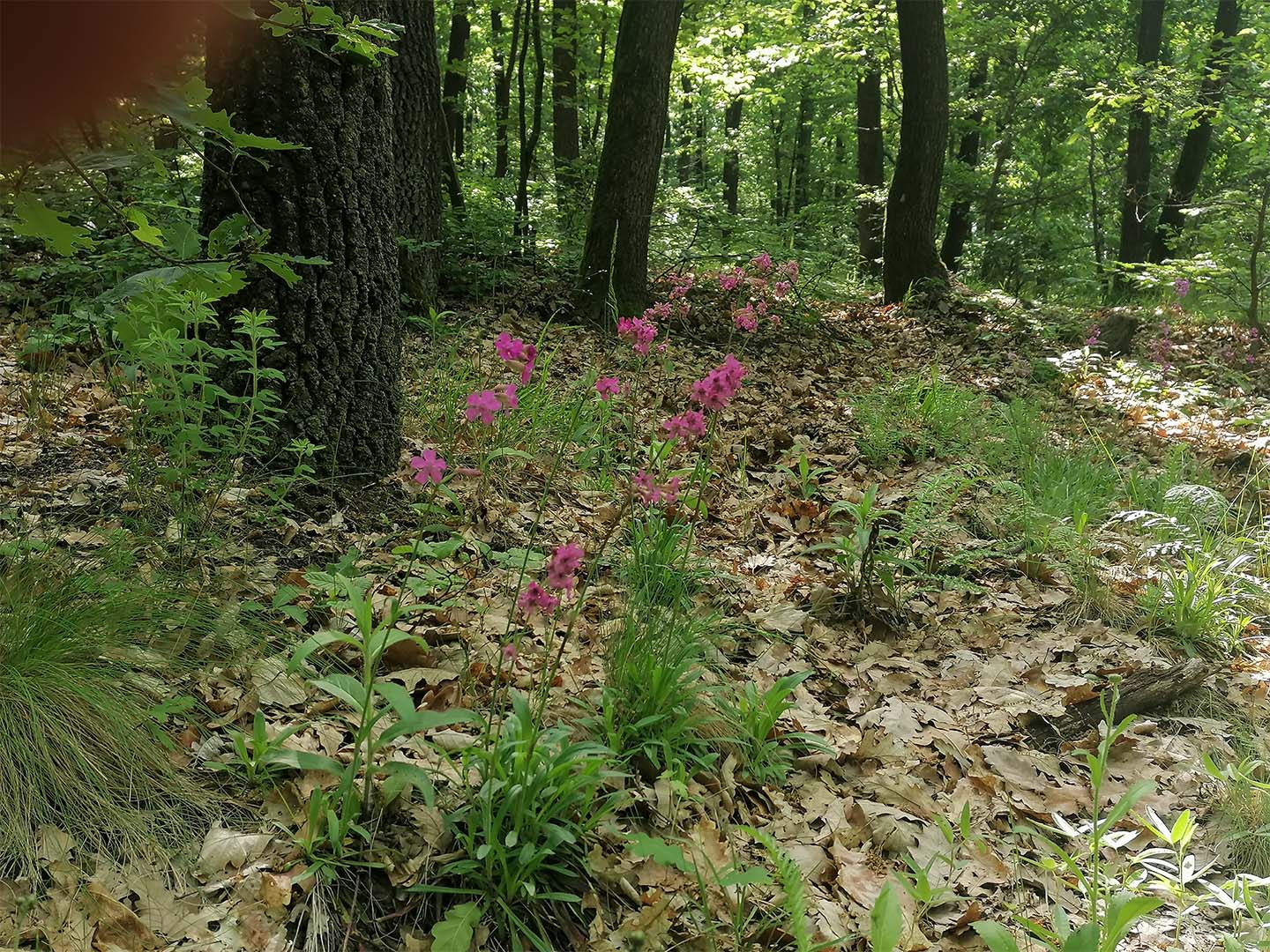
Dark pink
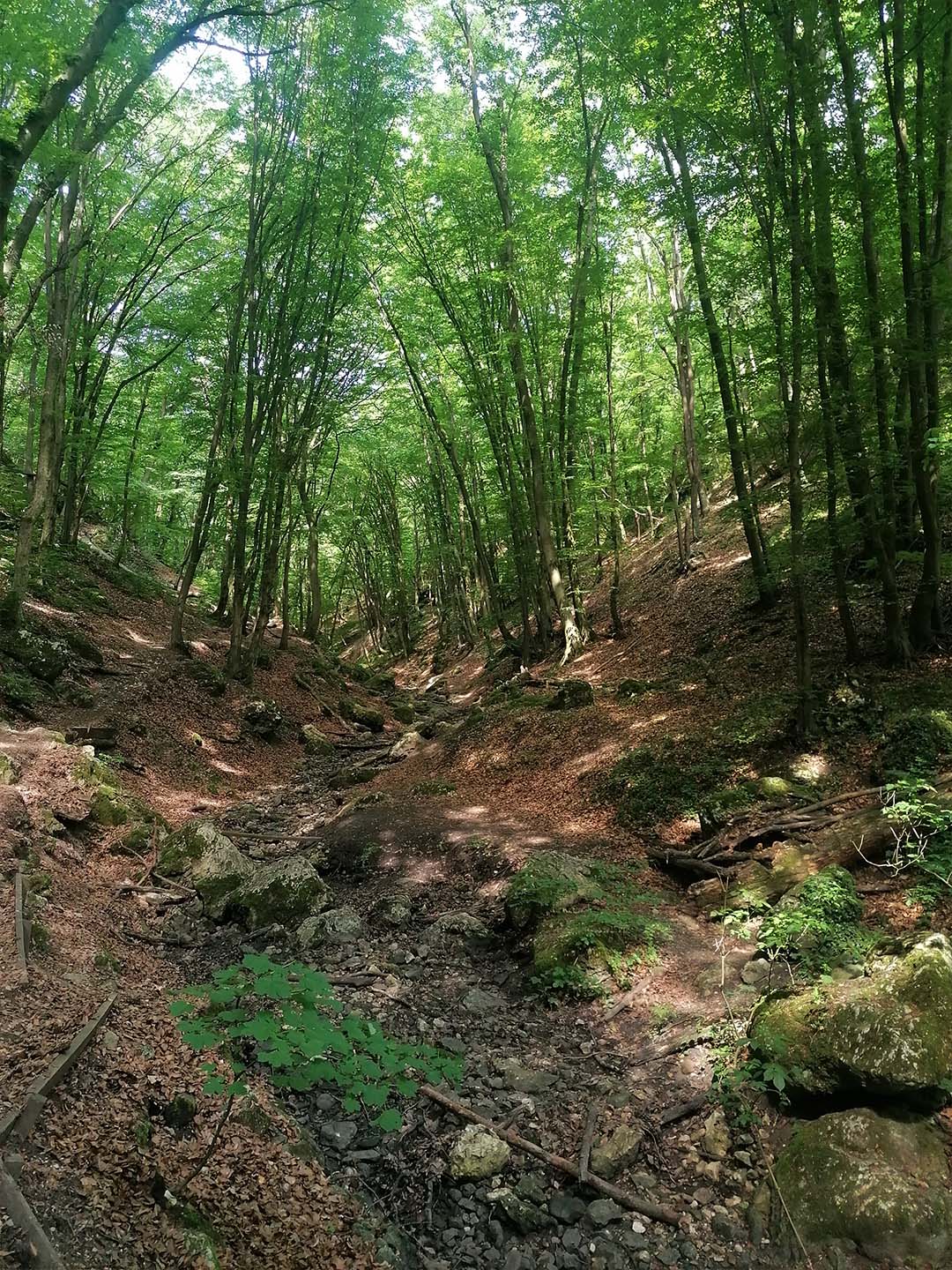

6. Hike: Csobánka–Rozália Brickworks
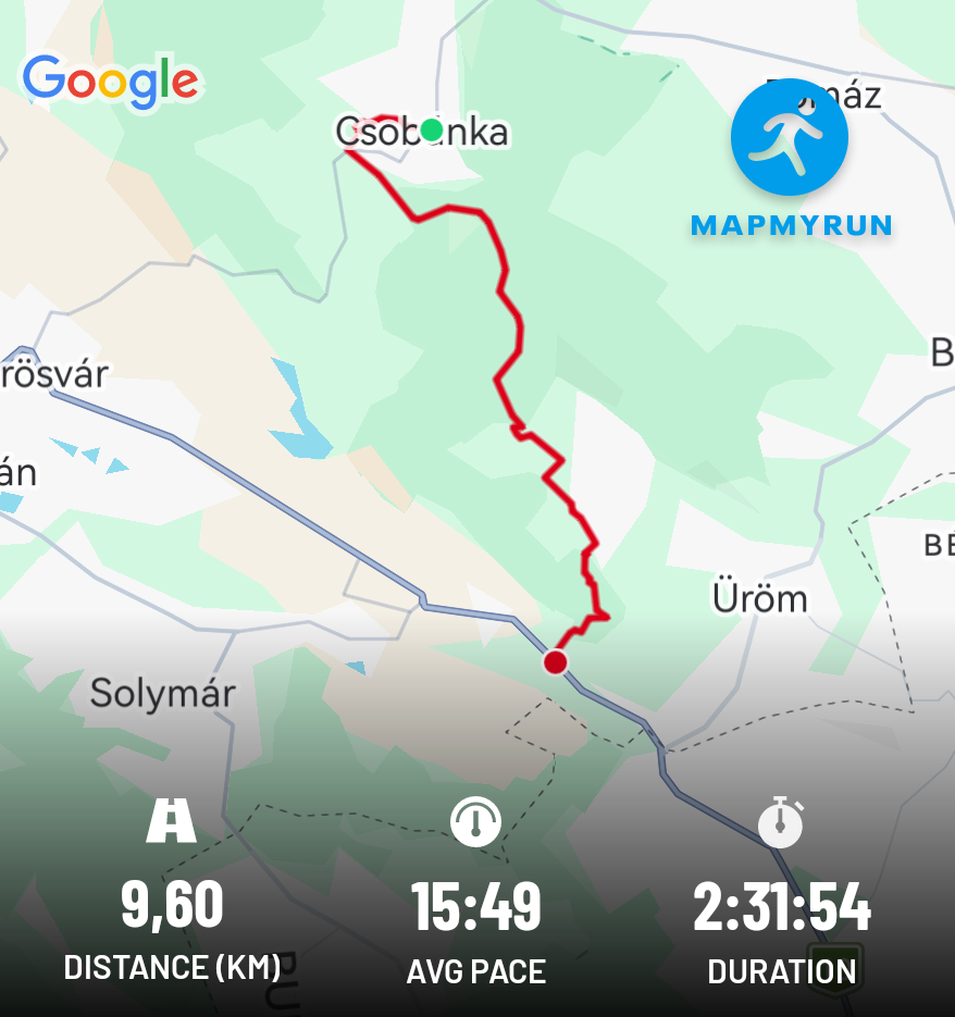
I completed this hike on May 24, 2025, in the Pilis, between Csobánka and the Rozália brick factory. I completed the 9.6 km distance in two and a half hours.
The route through Kevély Saddle and past Camel Rock would not have been difficult if there had not been a heavy rainfall the day before the hike. So, during the first few kilometres of the route, climbing uphill – still without hiking poles at that point – I had to pay quite a lot of attention to avoid slipping/falling. I didn’t quite succeed… To make matters worse, there was a trail running race taking place at the time, with around 200 runners coming downhill towards me.
Colorful: As is my habit, I greeted the runners first, probably being the youngest participant ☺, as they arrived in smaller and larger groups. One person who beat me to the greeting immediately asked with a smile, “Are you going the right way”? 🙂
A few photos from the hike:
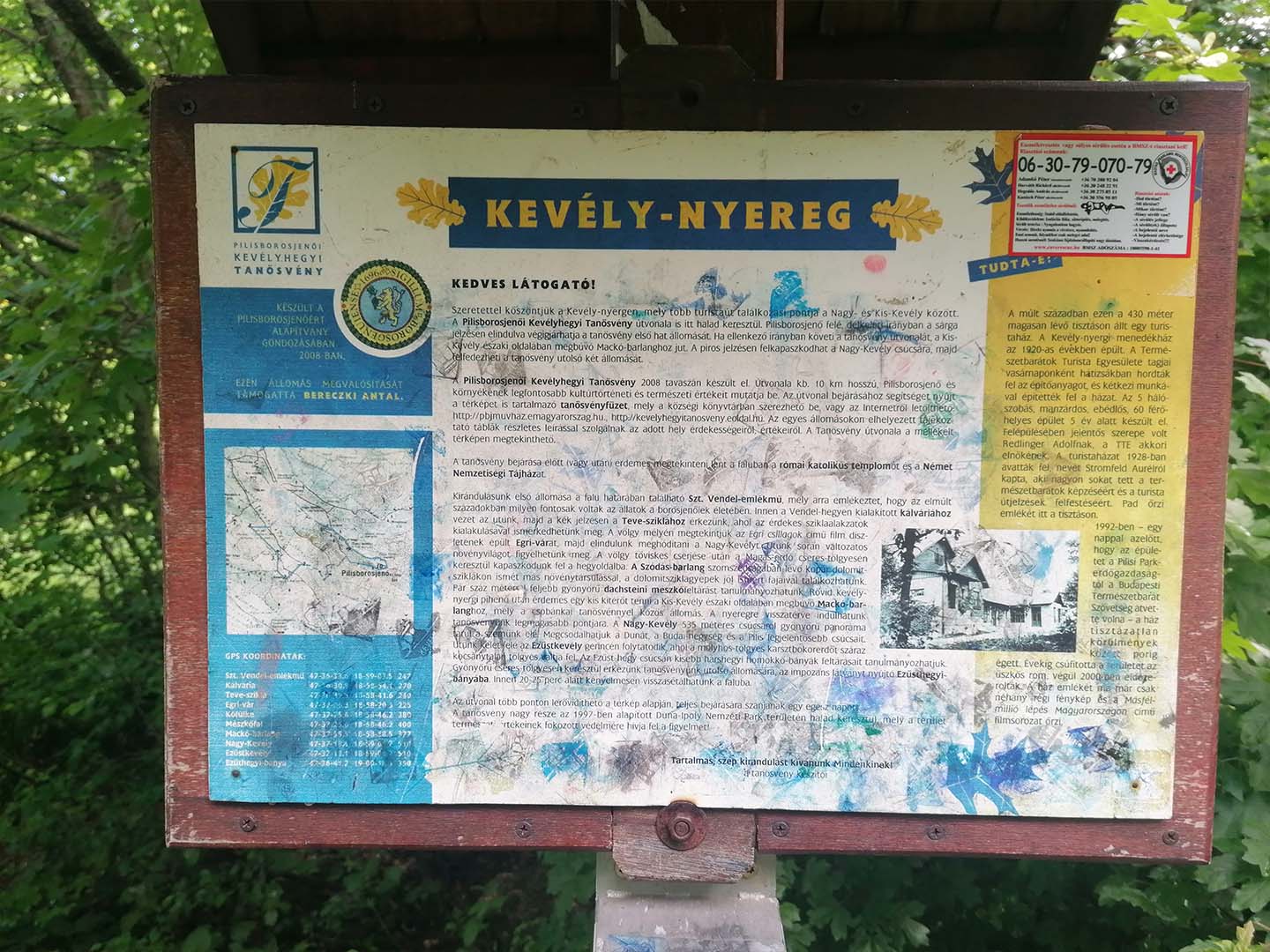
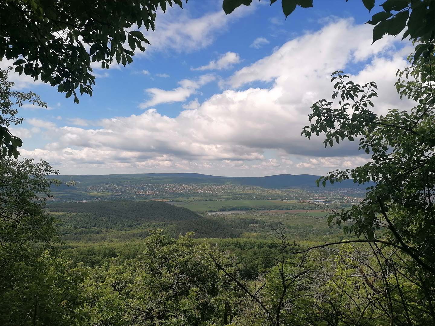
View from Kevély-Nyereg
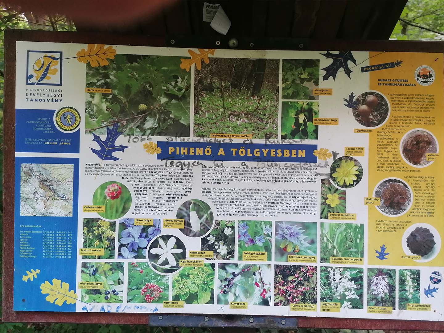
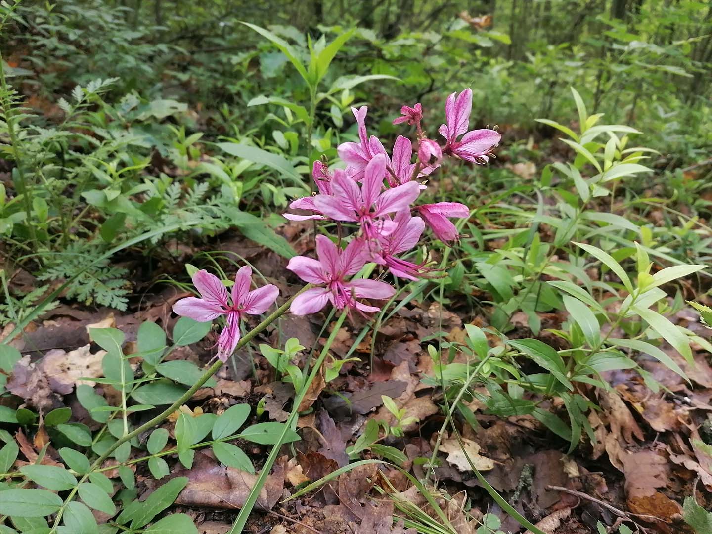
Burnet saxifrage
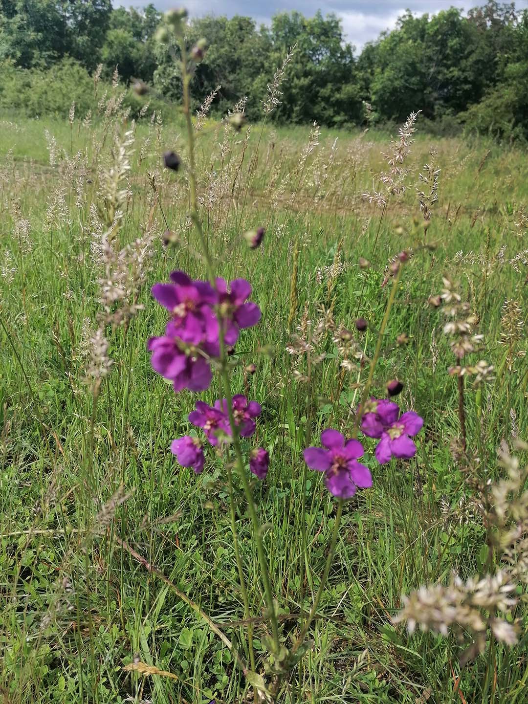
Purple mullein
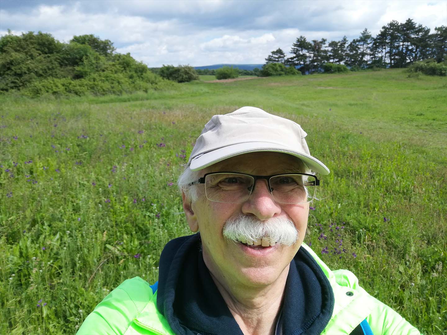
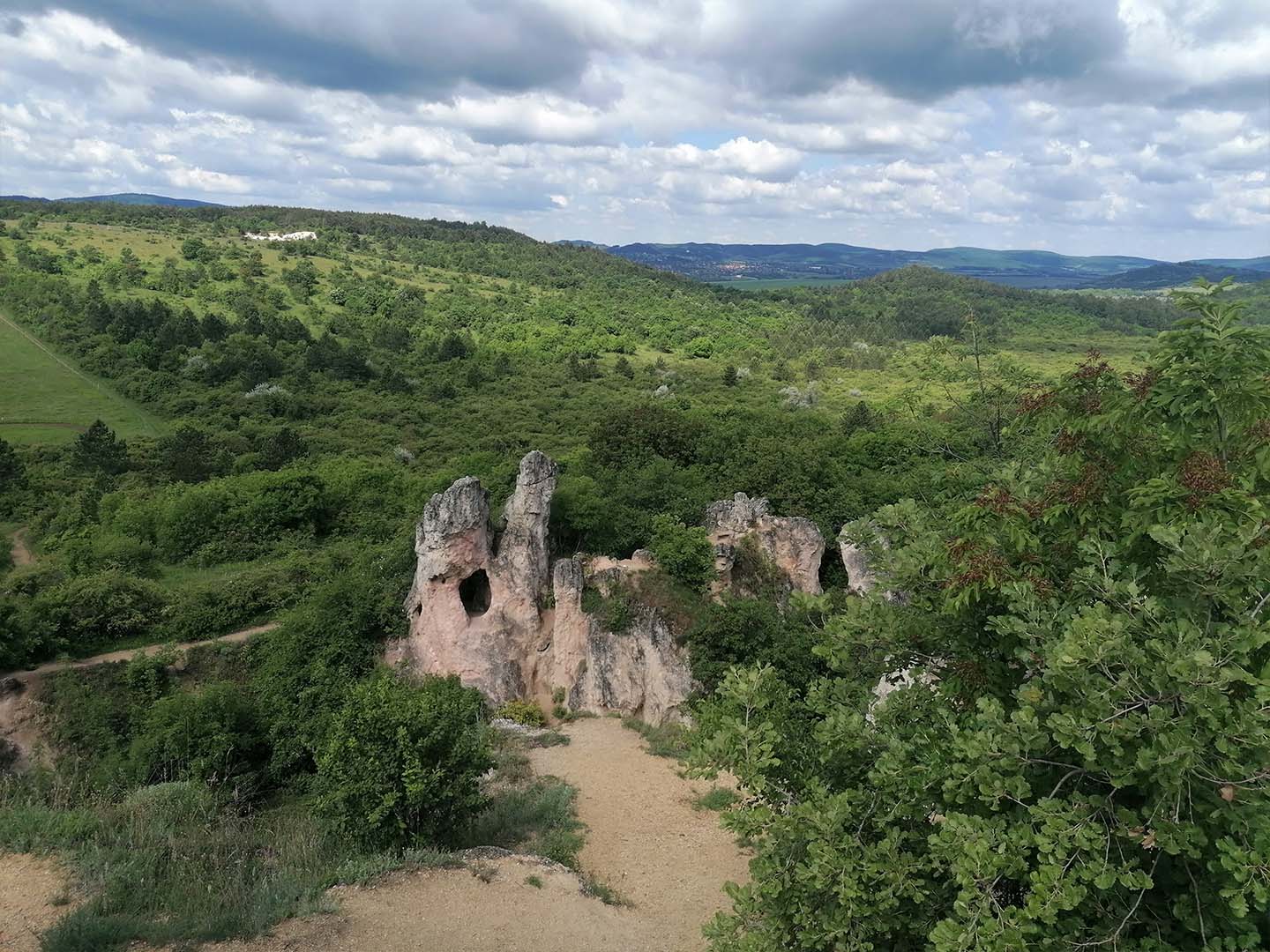
Teve Rock, Pilisborosjenő
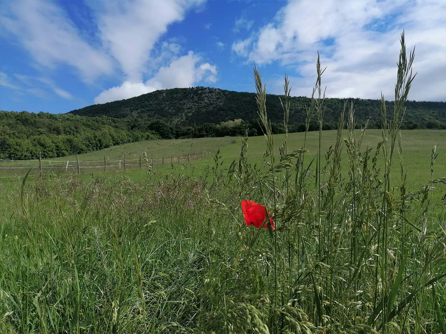
7. Hike: Dobogókő-Pilisszentlászló
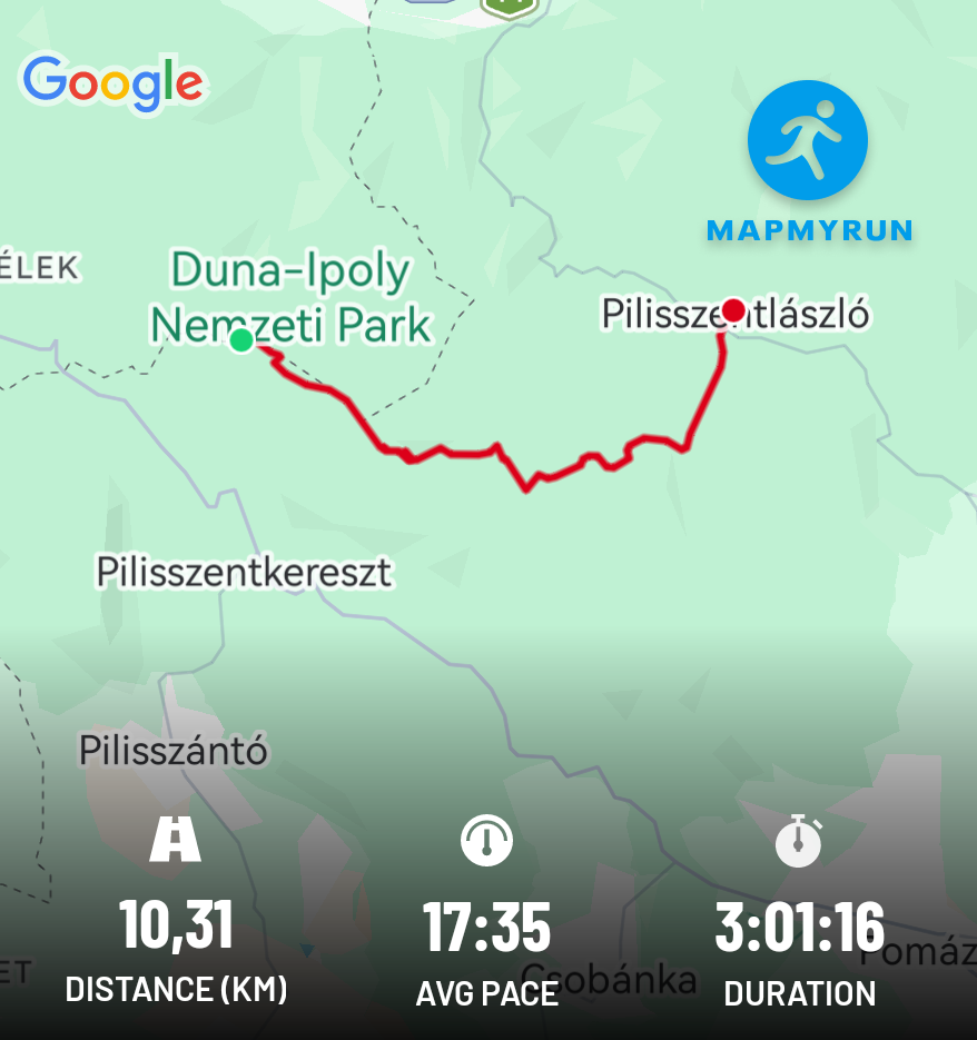
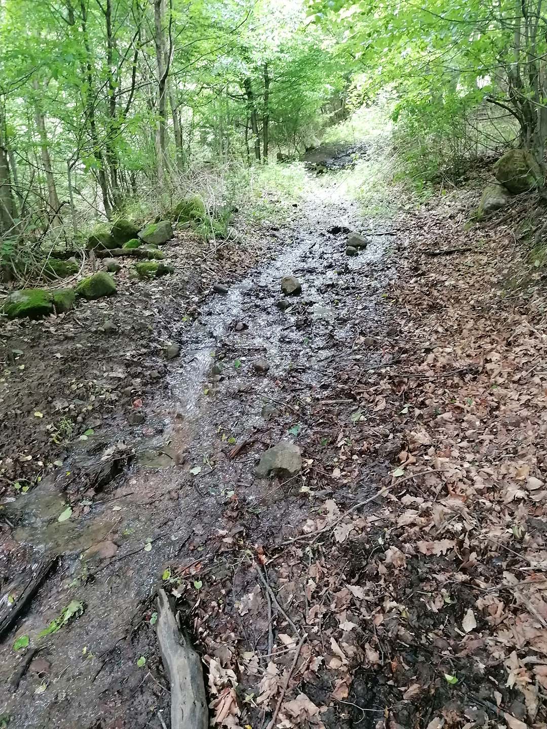
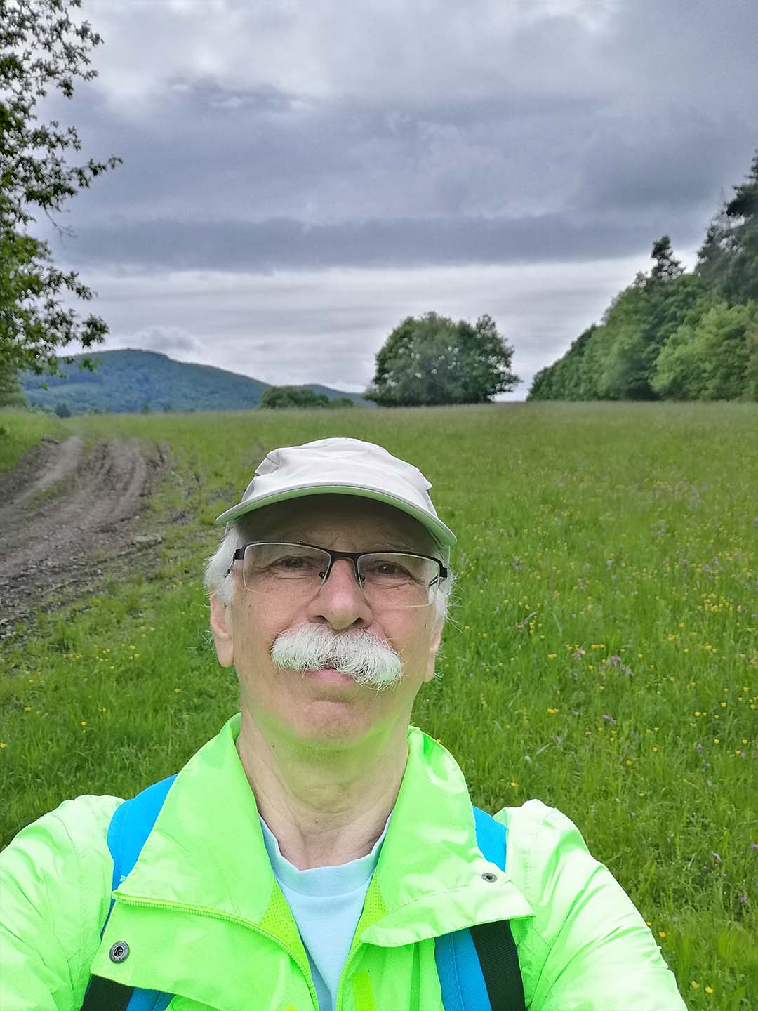
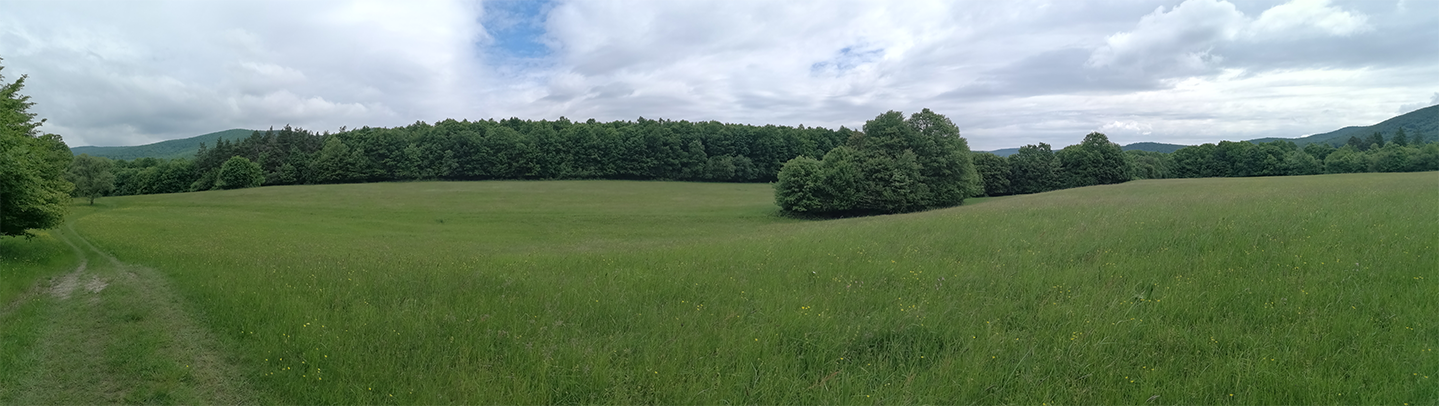
I completed this hike on May 26, 2025, in the Visegrád Mountains, between Dobogókő and Pilisszentlászló. I completed the 10.3 km distance in three hours. This was a very memorable hike because the Bükkös Stream joined me (or perhaps I joined it ☺), with the gurgling of its crystal-clear water providing the musical accompaniment to the concert of the songbirds.
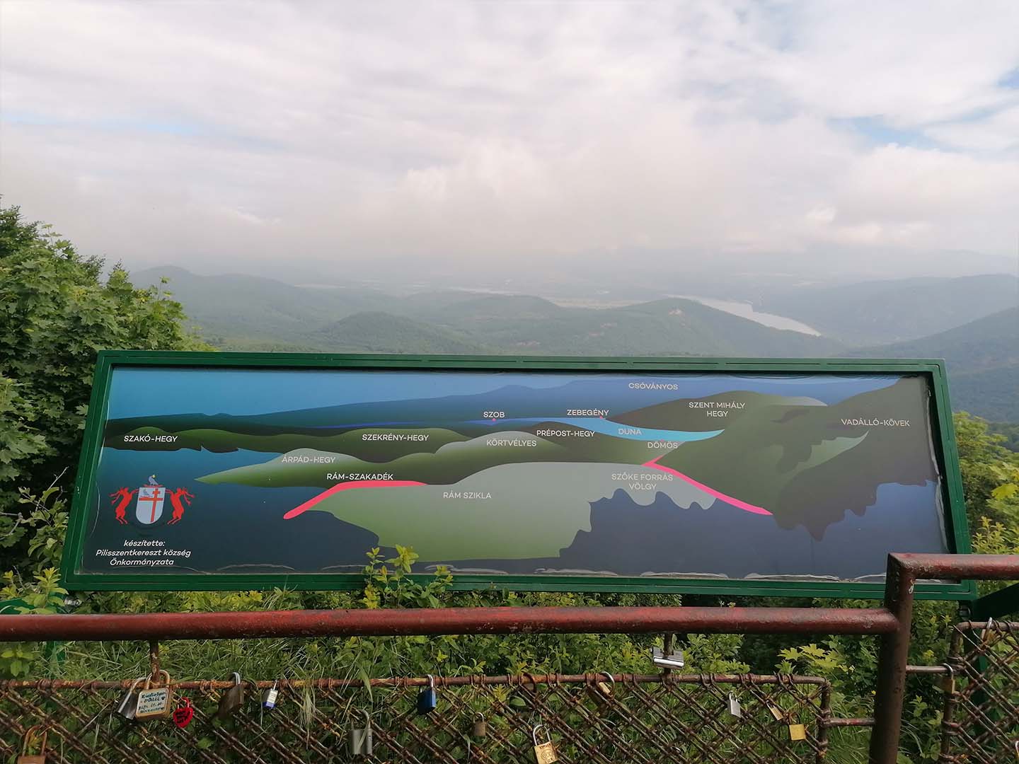
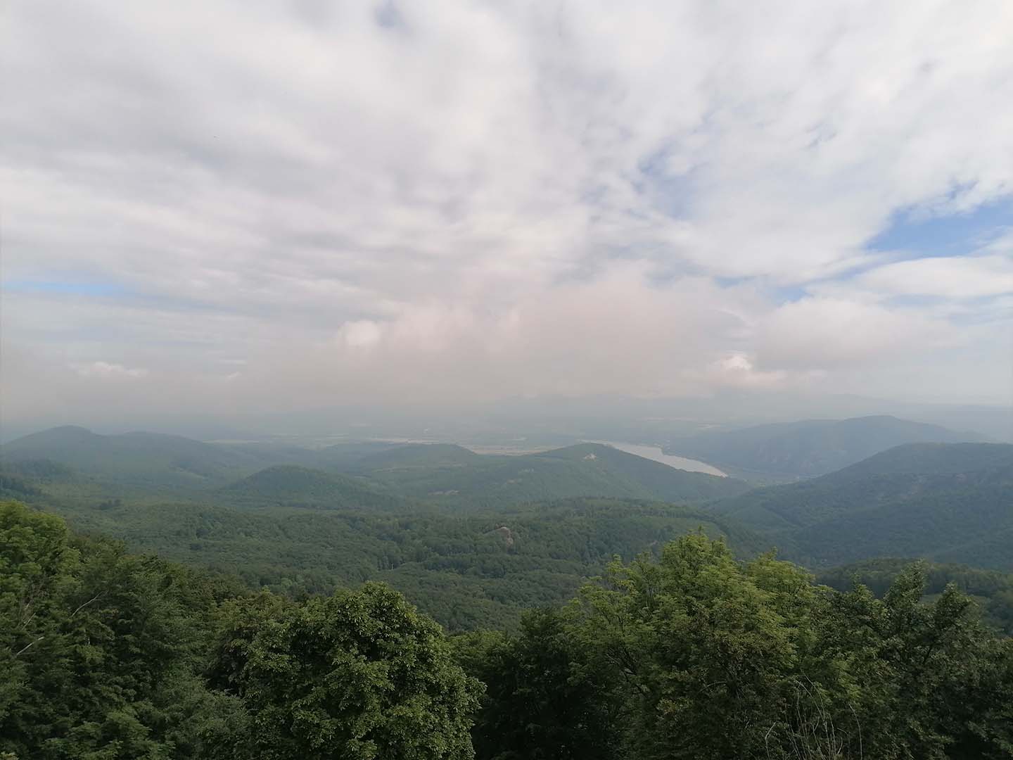
Panorama from Dobogókő
Some photos from the hike:
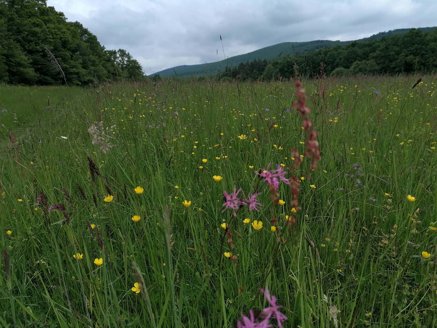
Ragged-robin
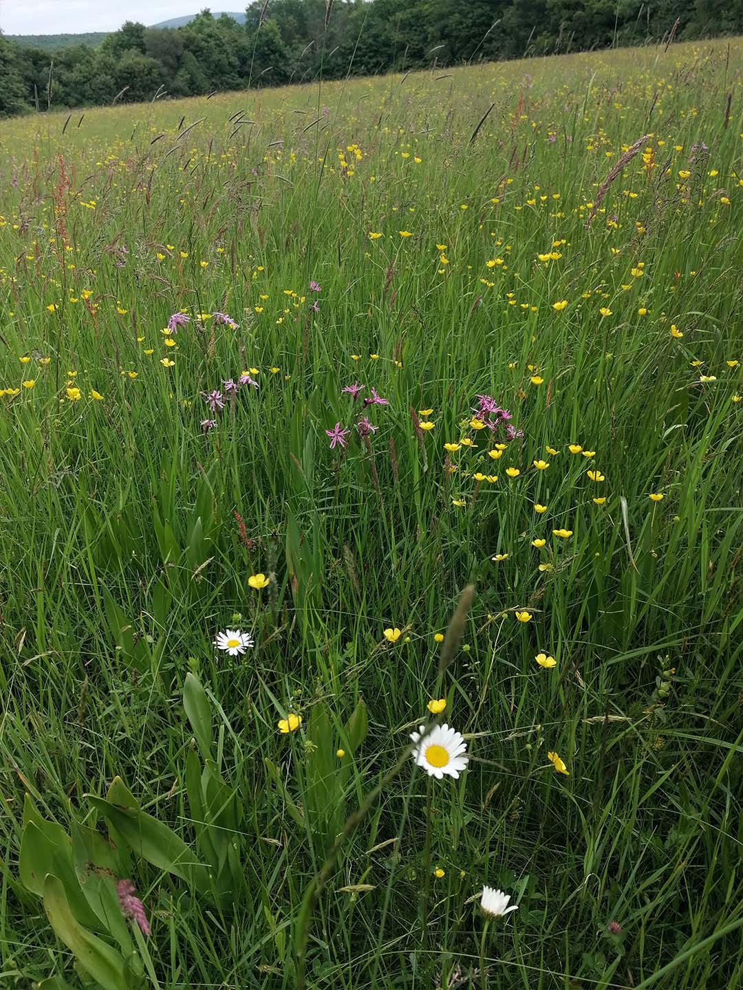
Wildflower meadow
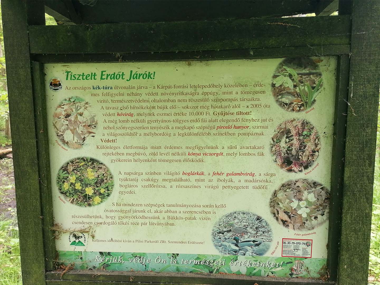
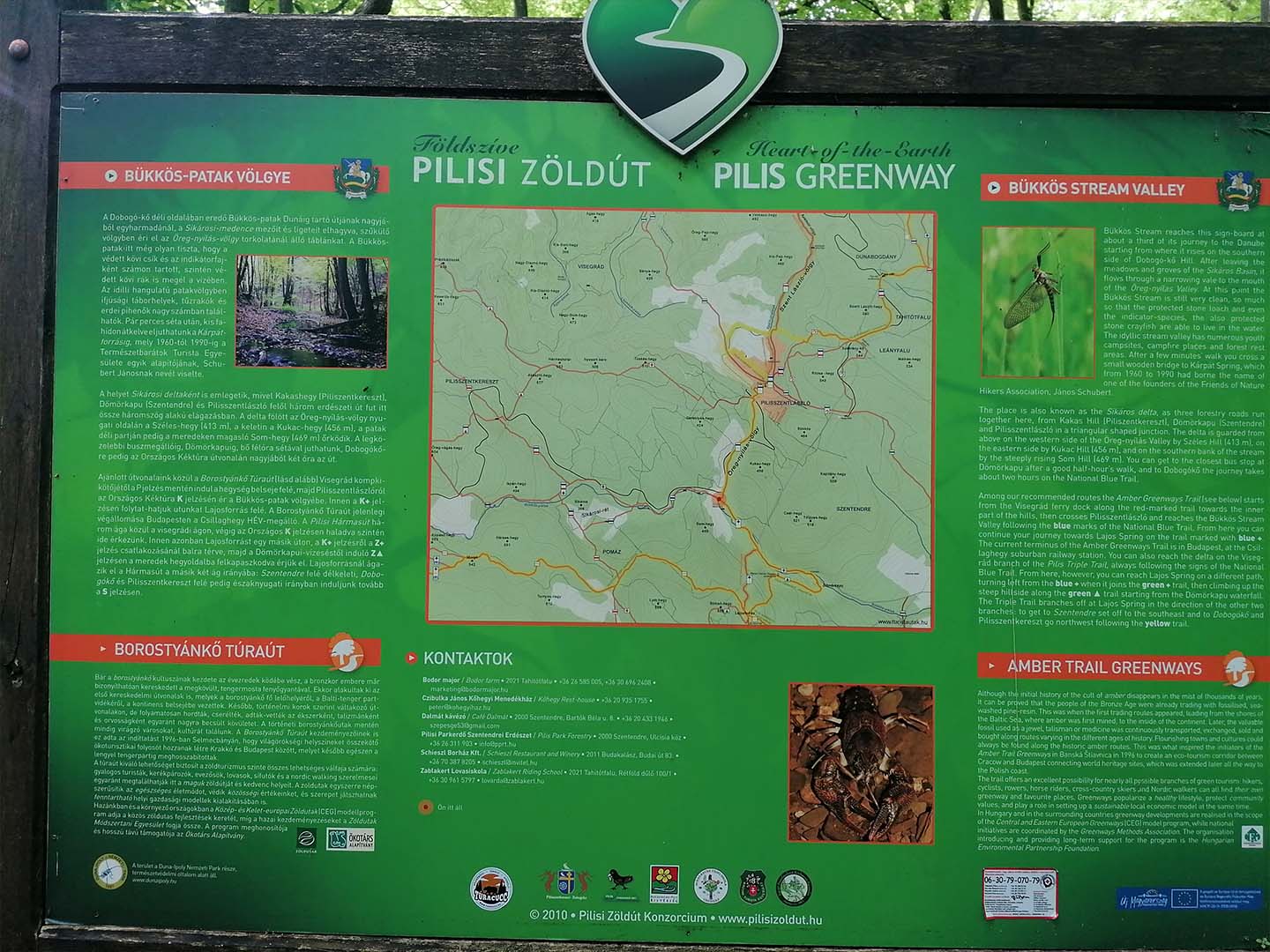
Some videos from the hike featuring the Bükkös Stream:
8. Hike: Pilisszentlászló-Visegrád
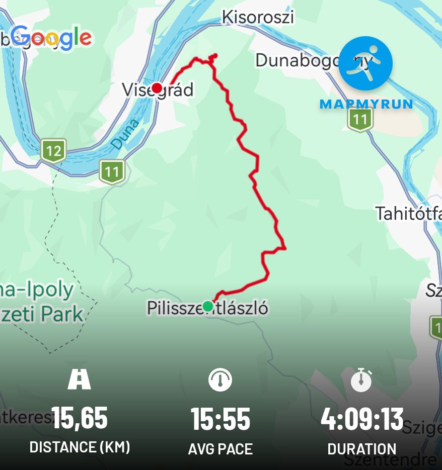
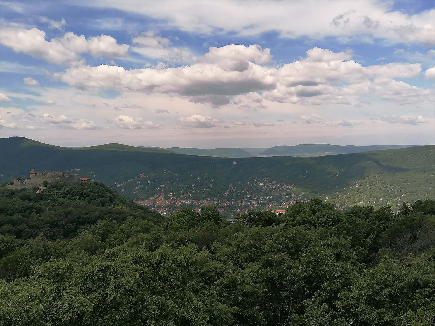
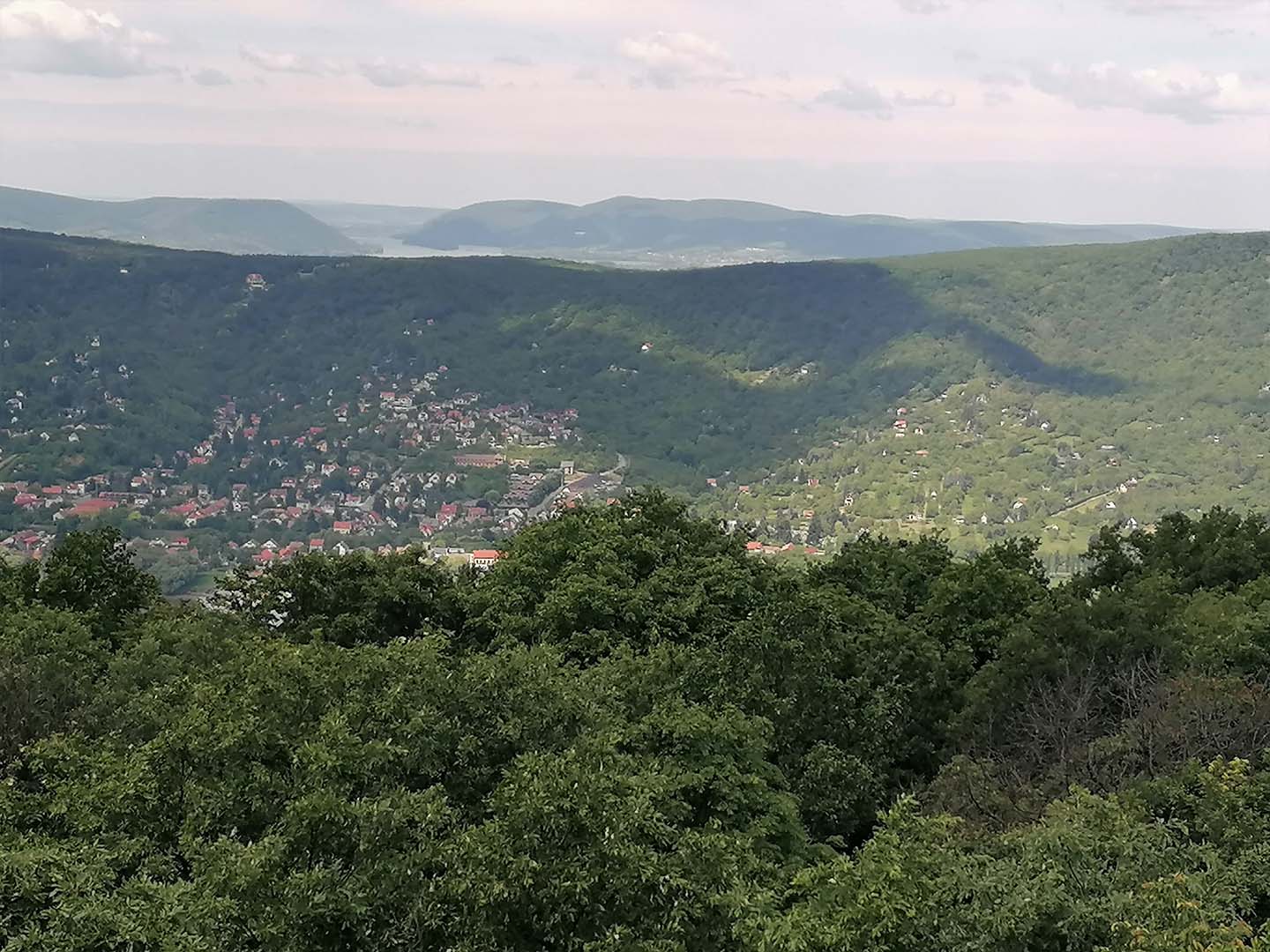
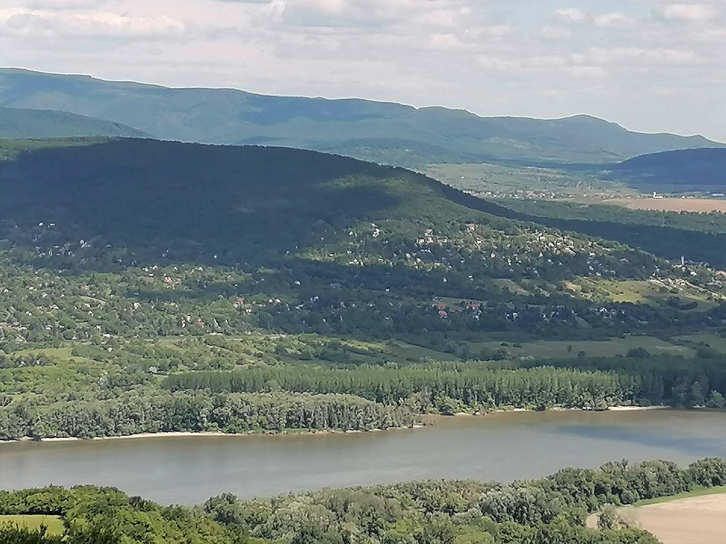
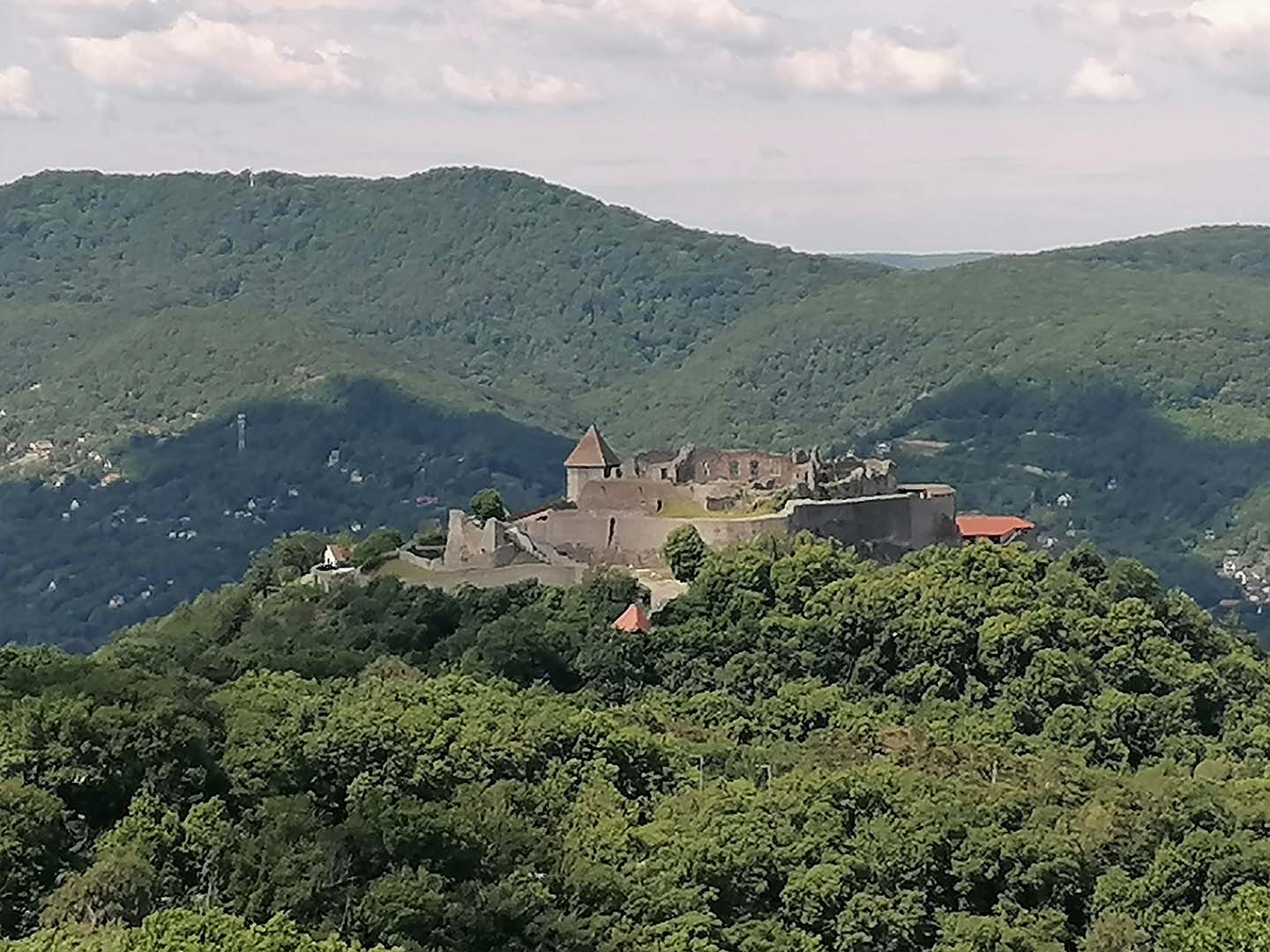
I completed this hike on May 28, 2025, in the Visegrád Mountains, between Pilisszentlászló and Visegrád. I completed the 15.6 km distance in 4 hours and 9 minutes. During the +426 m elevation gain, towards the end of the route, I reached the Zsitvay Lookout Tower in Visegrád, from where a wonderful view unfolds over the Danube Bend, including the Citadel, Visegrád, the Börzsöny Mountains, Nagymaros and, of course, the Danube.
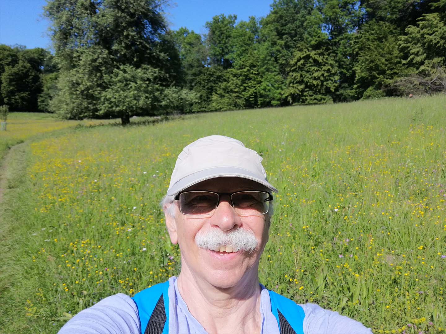
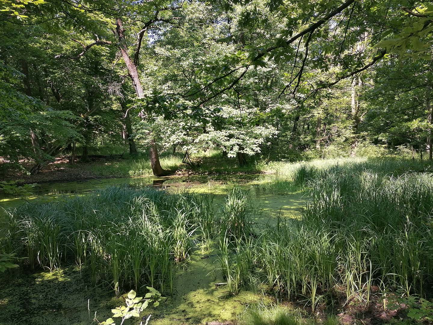
Photos from the hike:
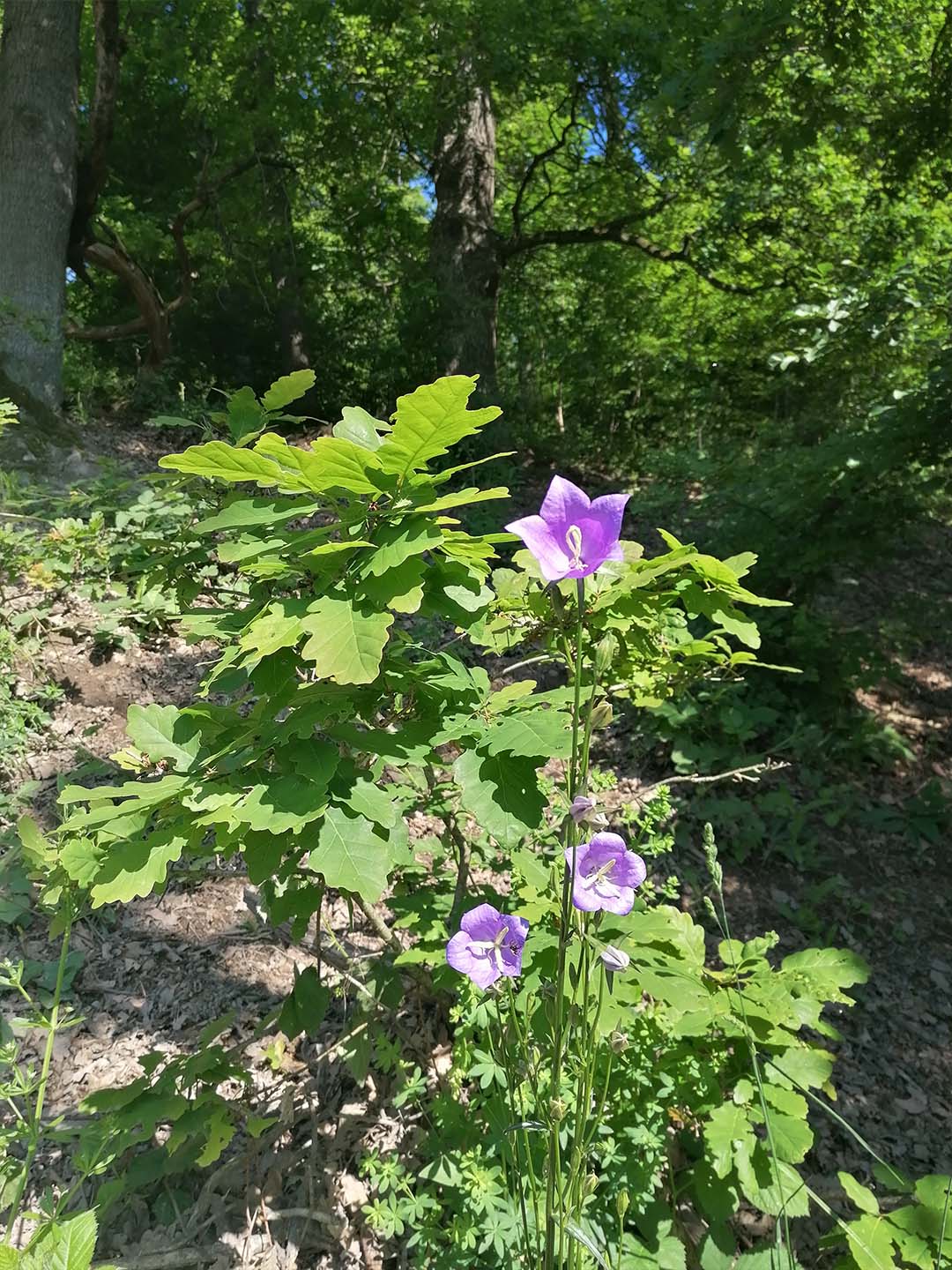
Peach-leaved bellflower
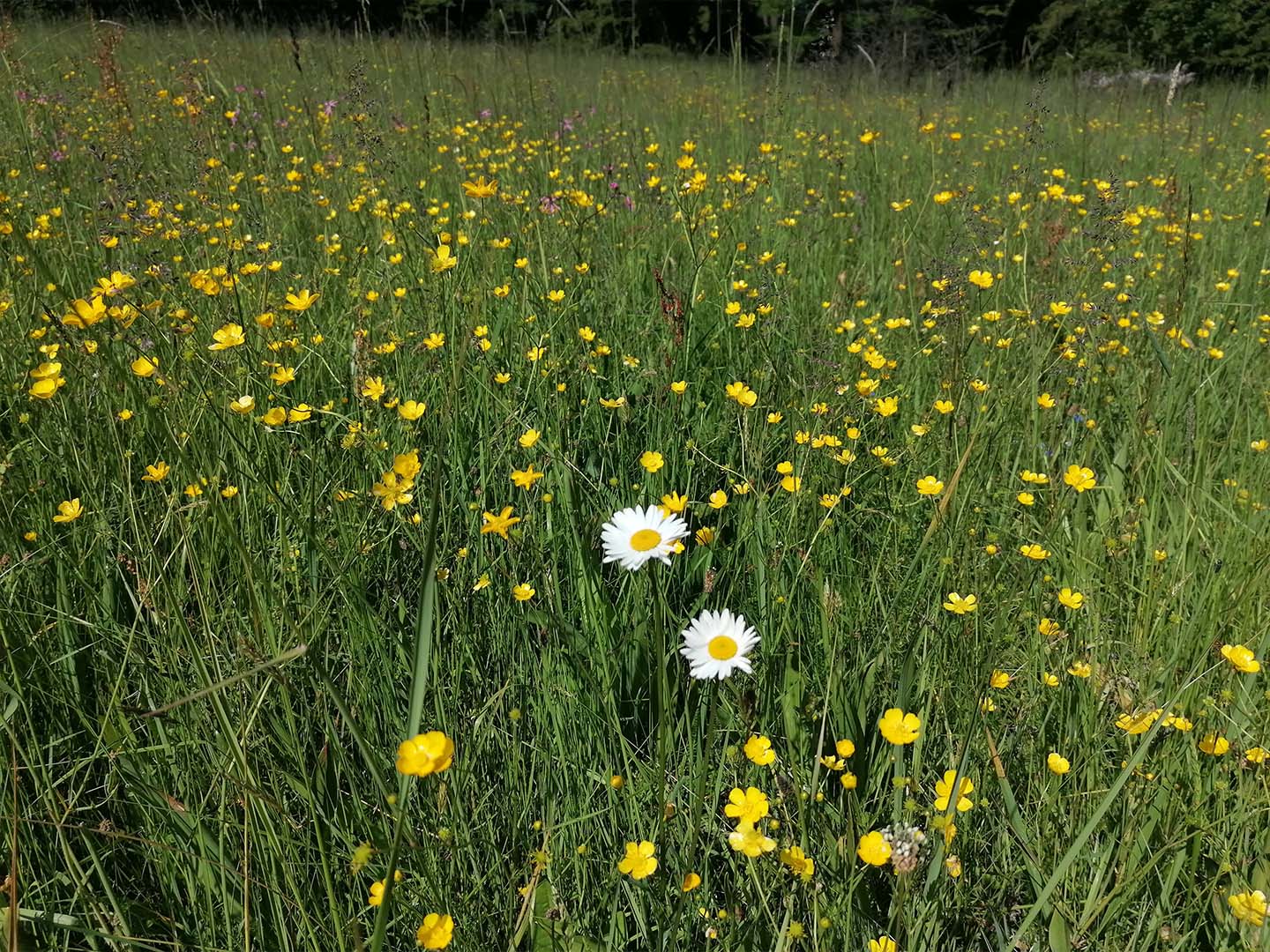
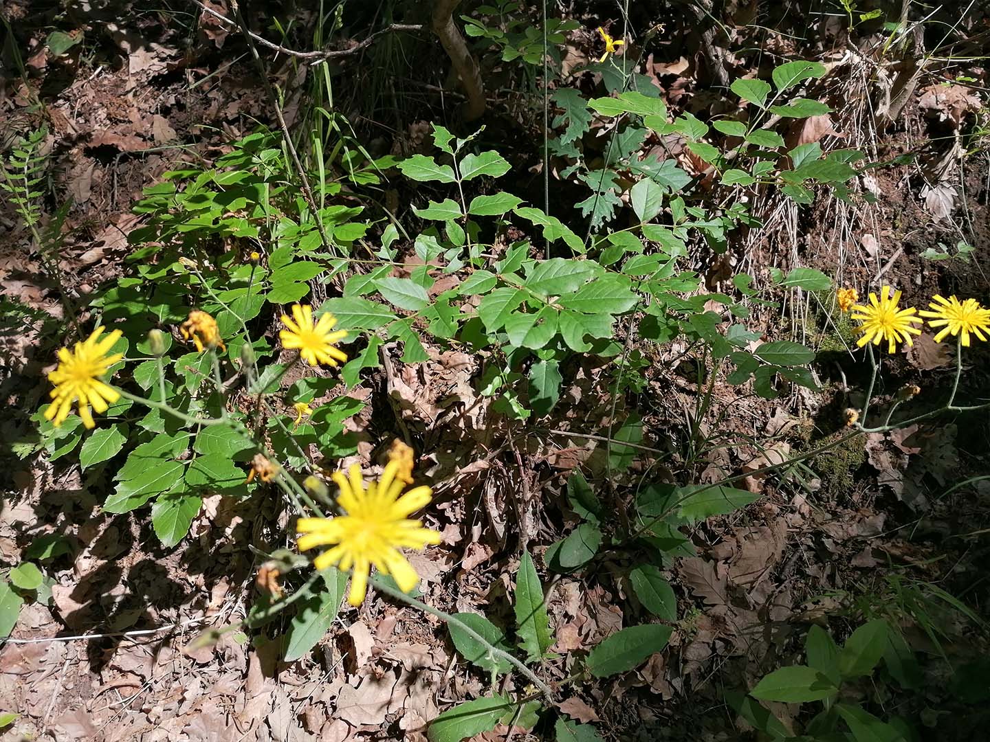
Wood hawkweed
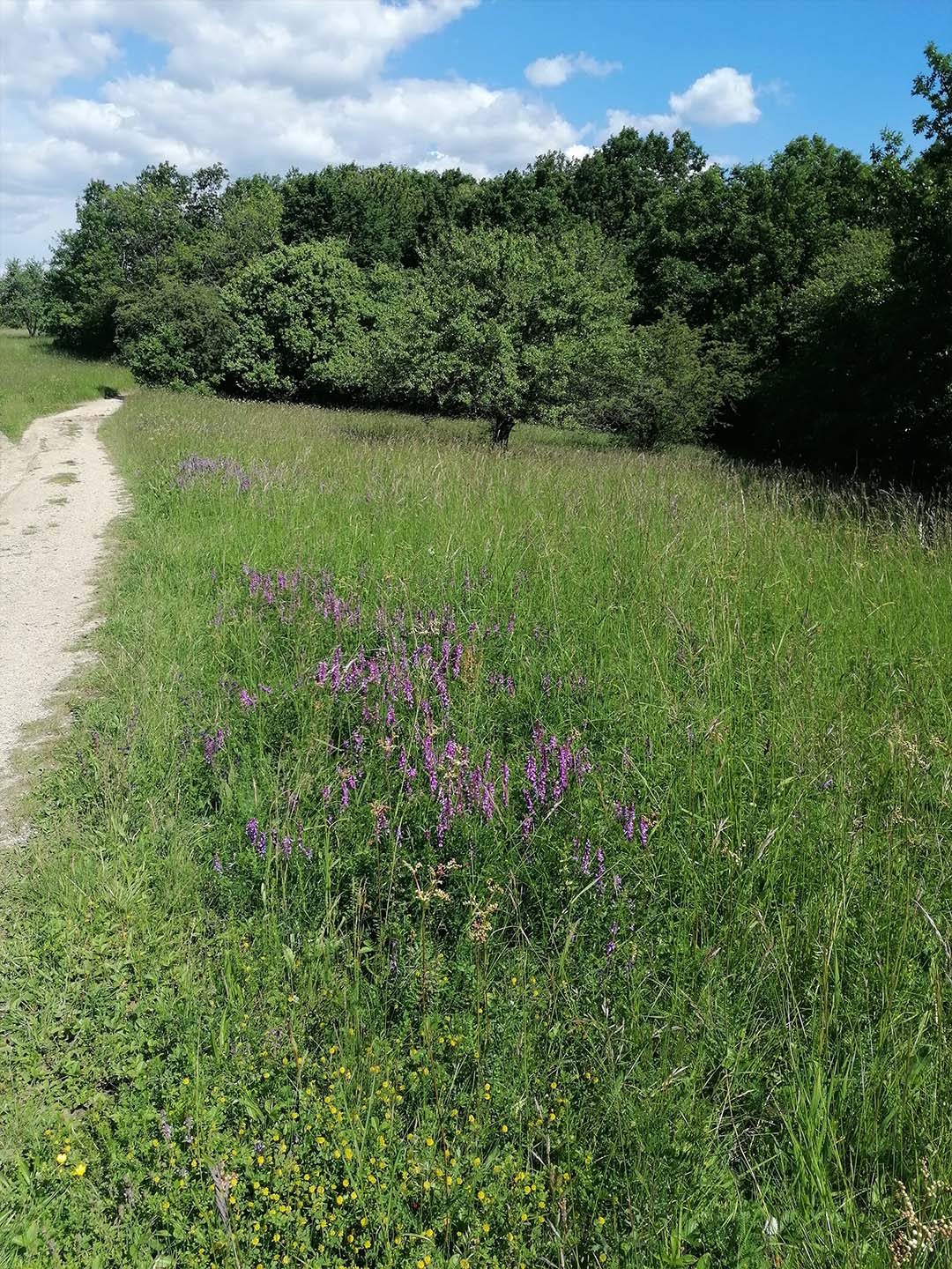
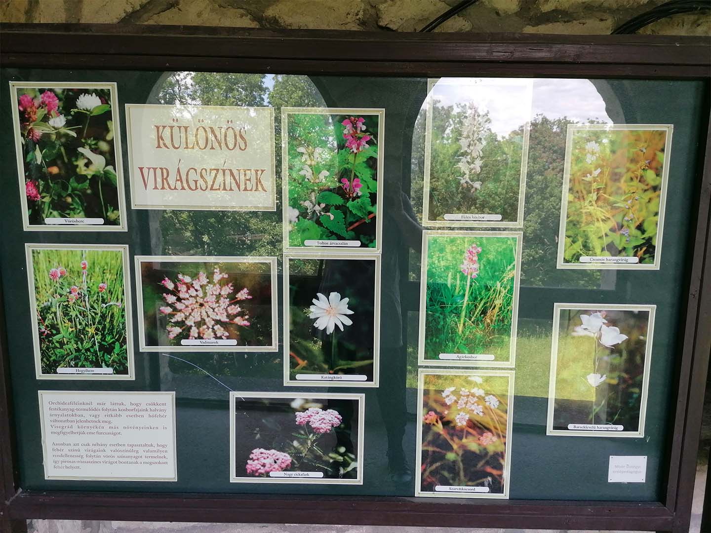
Forest and meadow flowers
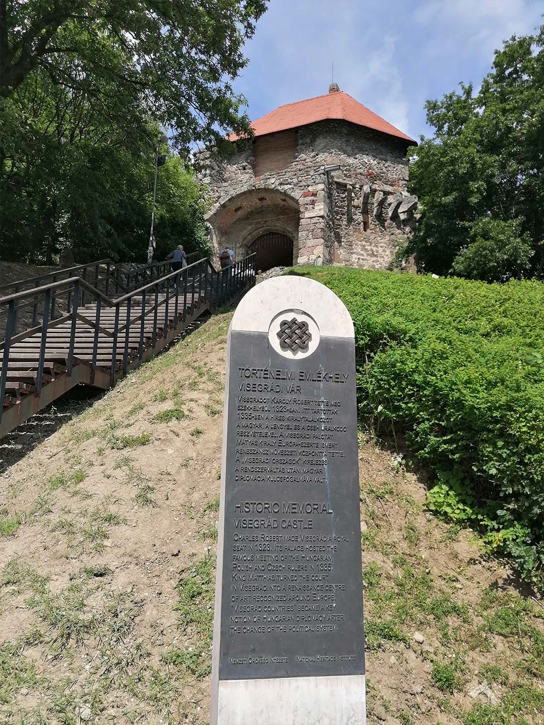
The entrance to Visegrád Castle
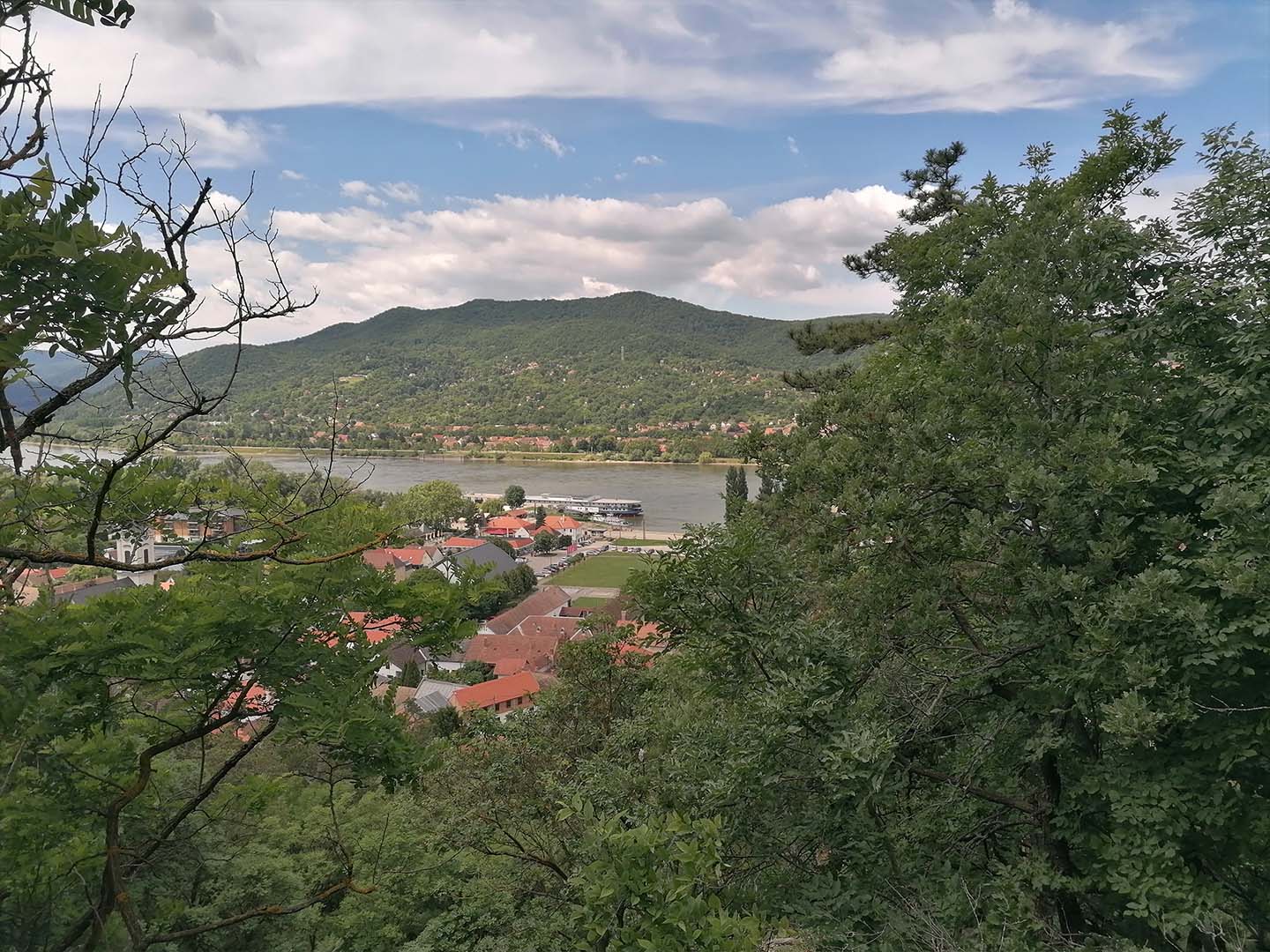
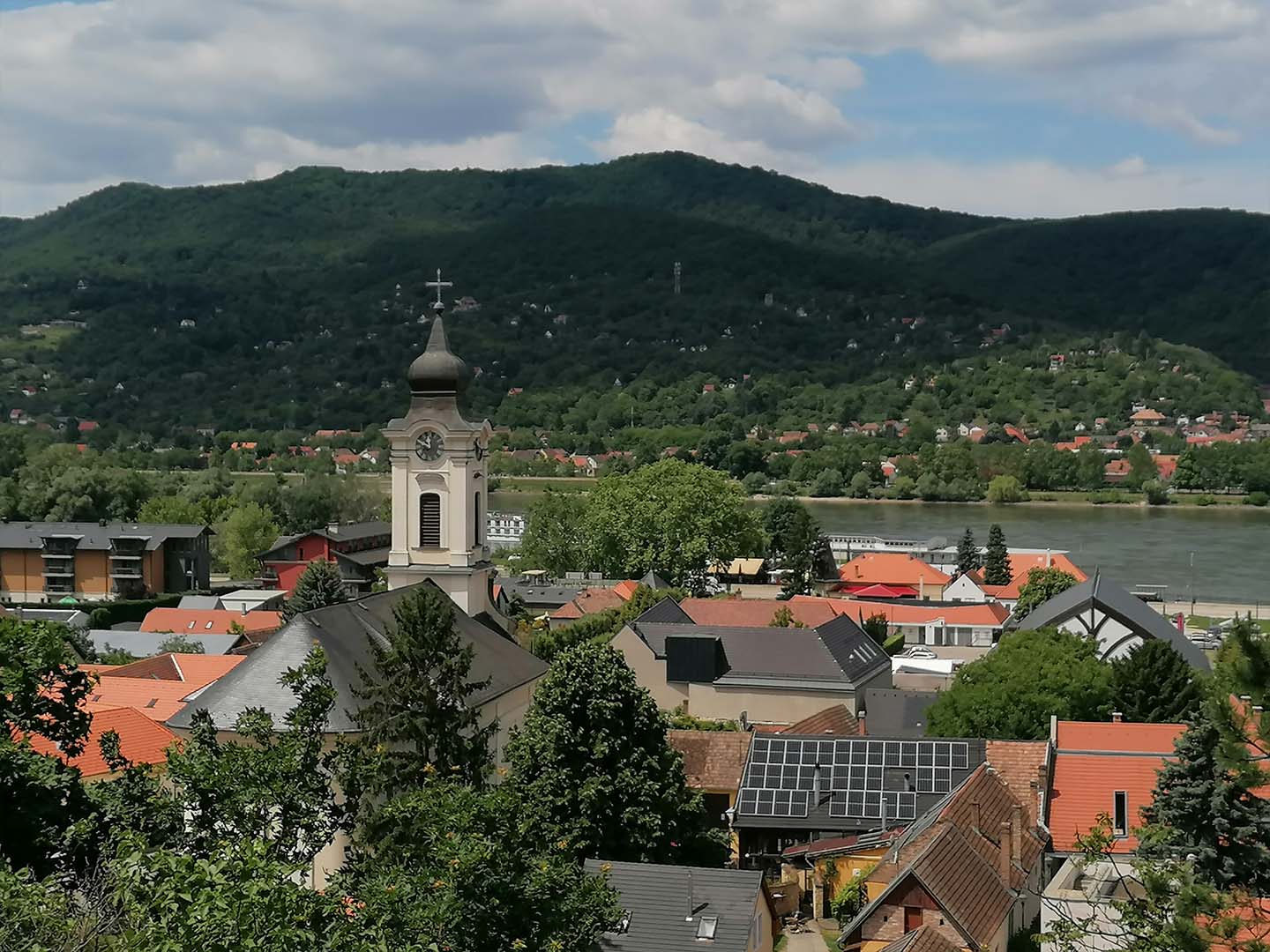
Visegrád, Duna, Nagymaros, Börzsöny
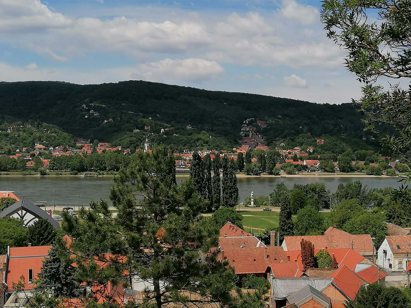
Visegrád, Duna, Nagymaros, Börzsöny
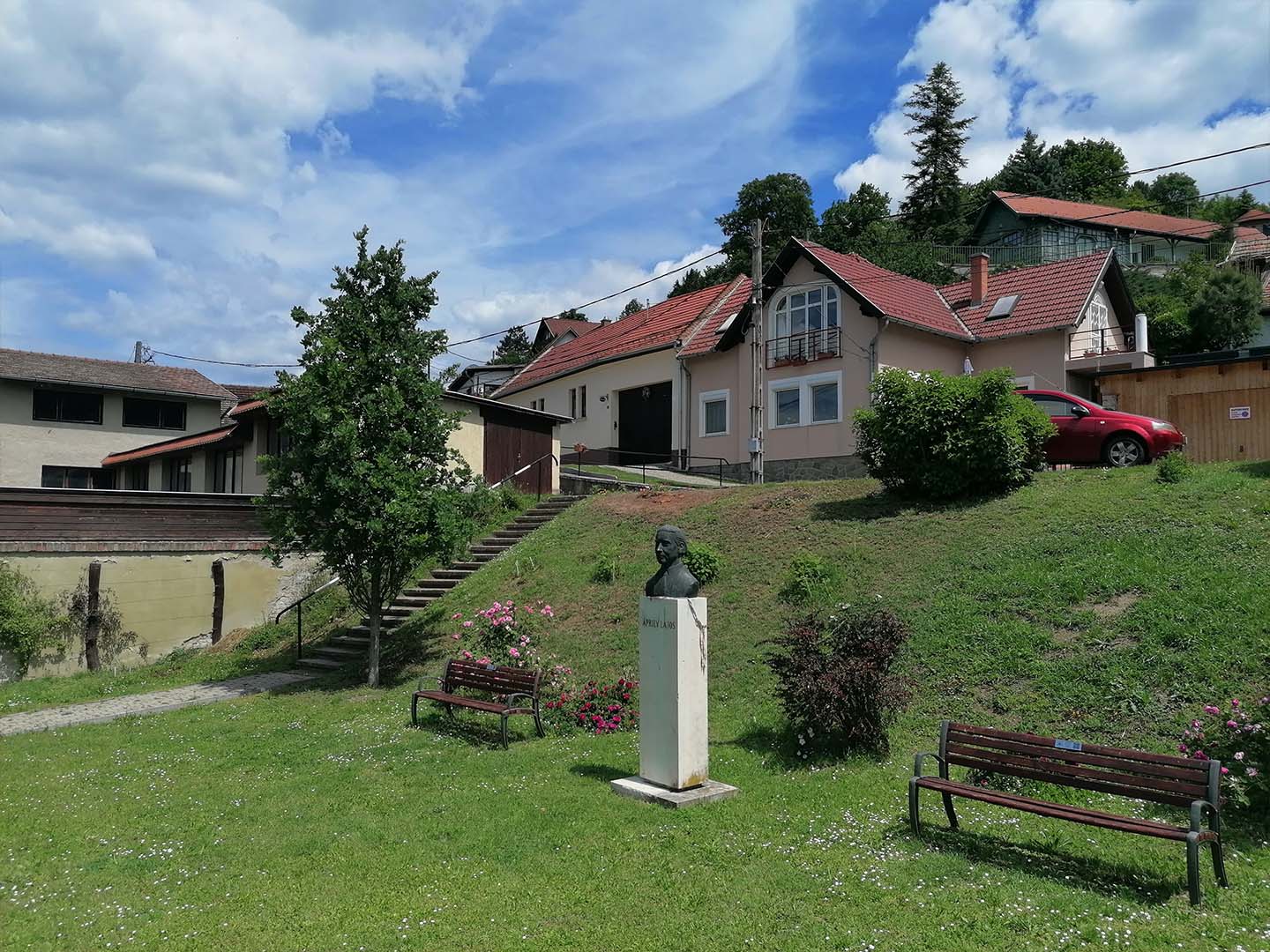
Bust of Lajos Áprily in Visegrád
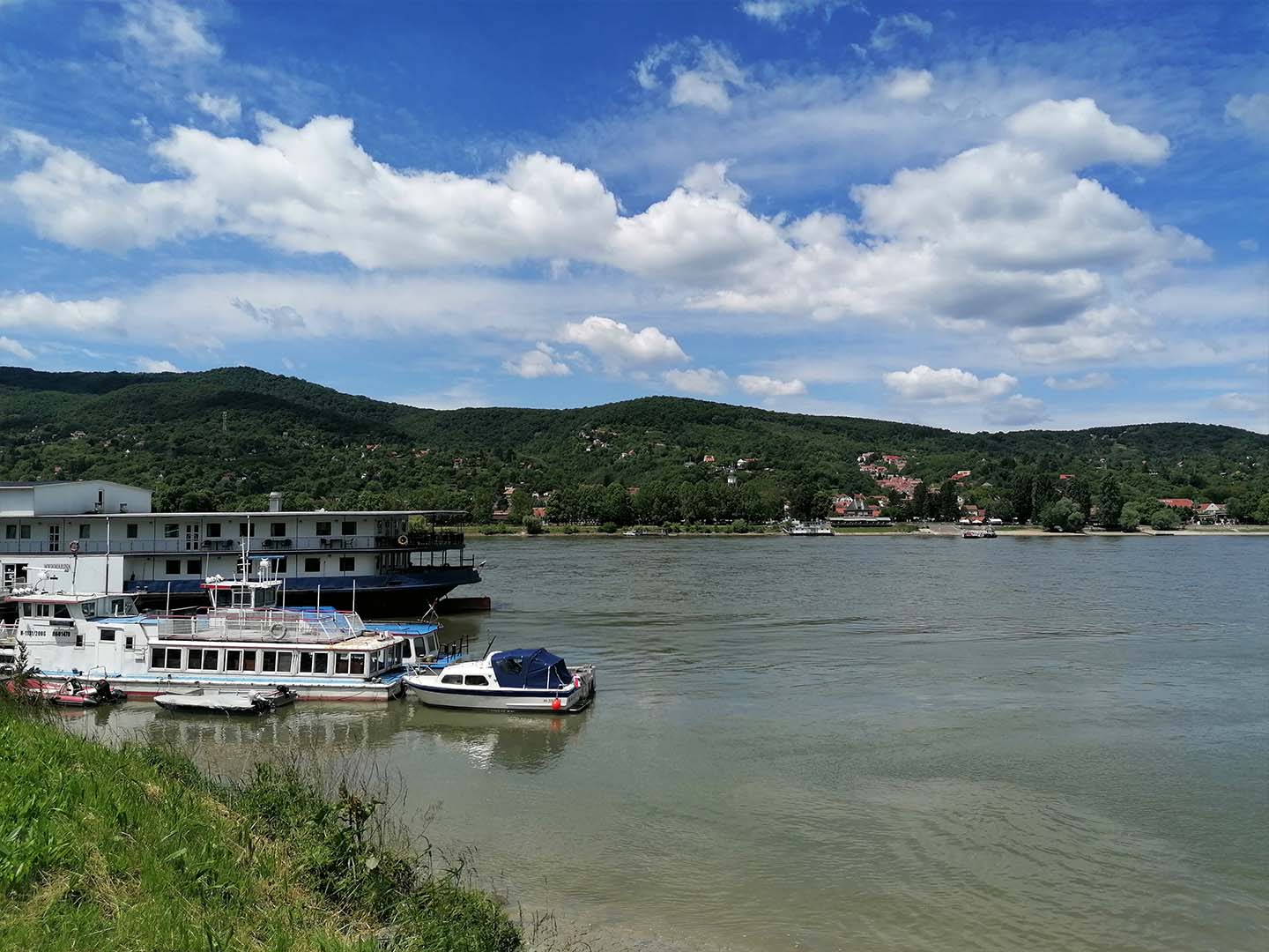
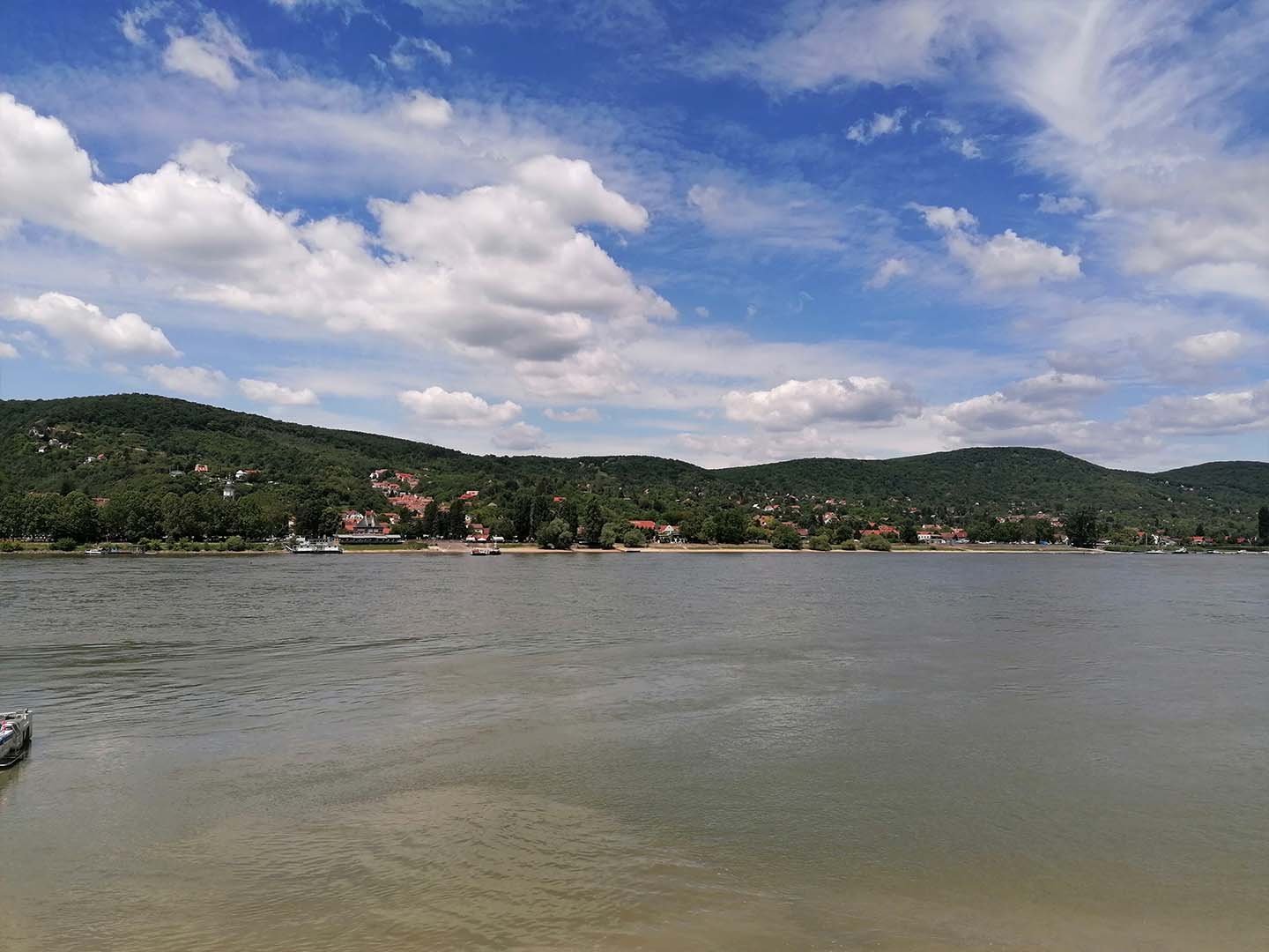
The Danube at Visegrád
Experiences from Hikes 1–8:
- As I already mentioned during the first hike, I was gradually getting into hiking the Blue Trail and beginning to feel the magic of the Blue Trail as my own.
- It was good that I started my hikes around Budapest because, compared to the sections still ahead of me, it was easier to organize my travel to and from the starting and finishing points of the hikes (by bus or train).
- Slowly, my hiking shoes also began to mold to my feet 😊 .
- For most of the hikes, I also brought a comfortable pair of spare shoes, which I wore during the journeys to and from the hikes.
- My experiences gradually became part of my subsequent hikes, even subconsciously.